Login

Забыл пароль?

Cookies have to be accepted!
Your browser's cookie functionality is disabled. Please enable this functionality.

Not a member yet?

Register now
Login

Available for registred users only

Log in to use this feature.

Забыл пароль?

Cookies have to be accepted!
Your browser's cookie functionality is disabled. Please enable this functionality.

Not a member yet?

Register now
Filter
Категории
Advanced filters
  • Длина (км)
  • Высотомер
Сохранить фильтр Reset filter

TrackRank

QRCode

Technical data

Длина6,9 km Высотомер60 m Way down55 m Длительность02:00 h:m Дата31.12.2011
Оценки Author Ландшафт Веселье Кондиция Техника

Статистика

1207 Виды Оценки 23 Загрузки Среднее
Rate
  • Формуляр маршрута
  • Дорога
  • Загрузки

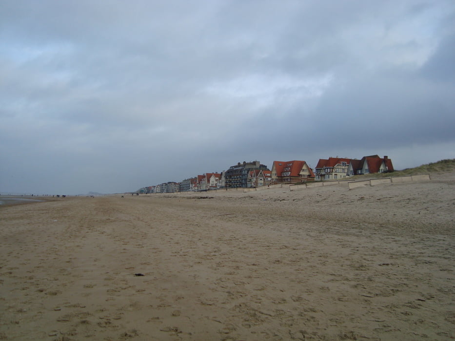
Strandwandeling is ook bij vloed geen probleem.

Geen speciaal schoeisel nodig voor de wandeling.

De kusttram heeft regelmatig haltes voor als men eerder met de tram terug wil.

Галерея маршрутов

Карта маршрута и высотный профиль

  • Open Street Map
  • Google
Minimum height -20 m Maximum height 26 m Детальный вид

More about the tour author

ikkel
Member since 2009

Send private message

Комментарии

GPS-Tracks

Trackpoints
  • GPX / Garmin Map Source (gpx) download
  • TCX / Garmin Training Center® (tcx) download
  • CRS / Garmin Training Center® (crs) download
  • Google Earth (kml) download
  • G7ToWin (g7t) download
  • TTQV (trk) download
  • Overlay (ovl) download
  • Fugawi (txt) download
  • Kompass (DAV) Track (tk) download
  • Формуляр маршрута (pdf) download
  • Original file of the author (gpx) download

More about the tour author

ikkel
Member since 2009

Send private message
Share track
Add to my favorites
Remove from my favorites
Edit tags
My score
Rate
Маршрут: strandwandeling van Bredene naar De Haan
Вид: Пешеходный туризм
Длина: 6,9 km
Evaluated on:
Длительность:
Day(s)
Hour(s)
Minute(s)
Оценка: Ландшафт Веселье Кондиция Техника