
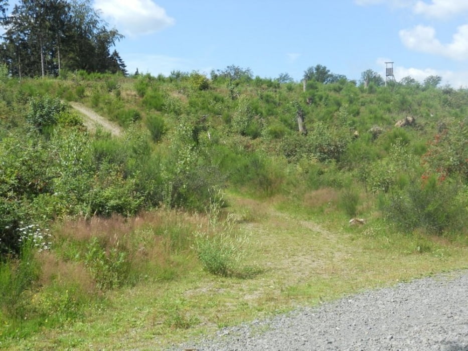

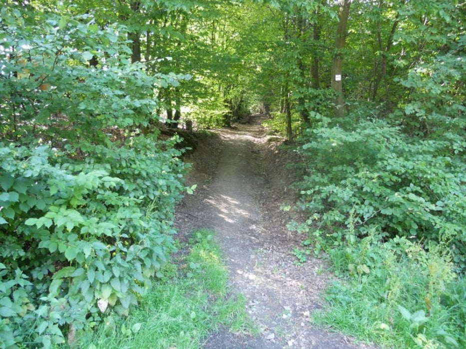
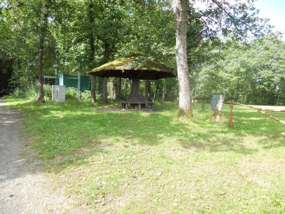
Diese relativ schwere Route startet an der katholischen Kirche in Freudenberg (Siegerland), alternativ kann man auch 400m weiter einen Wanderparkplatz anfahren. Die Wege sind in gutem Zustand.Es gibt etliche An- und Abstiege mit teilweise schlechter Bodenbeschaffenheit. Der Boden ist oft nass und dann problematisch. Die Route ist für leute die Ruhe lieben. Für die gesamte Route mit Pausen müssen ca. 5 Stunden ankalkuliert werden wobei die reine Gehzeit 4 Stunden beträgt. Die Strecke eignet sich eigentlich auch für Mountainbiker.
Галерея маршрутов

Карта маршрута и высотный профиль
Minimum height 227 m
Maximum height 386 m
More about the tour author
|
|
ajdda |
Комментарии

GPS-Tracks
Trackpoints-
GPX / Garmin Map Source (gpx) download
-
TCX / Garmin Training Center® (tcx) download
-
CRS / Garmin Training Center® (crs) download
-
Google Earth (kml) download
-
G7ToWin (g7t) download
-
TTQV (trk) download
-
Overlay (ovl) download
-
Fugawi (txt) download
-
Kompass (DAV) Track (tk) download
-
Формуляр маршрута (pdf) download
-
Original file of the author (gpx) download
More about the tour author
|
|
ajdda |
Add to my favorites
Remove from my favorites
Edit tags
Open track
My score
Rate