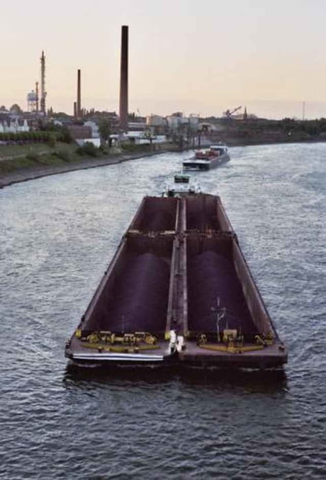
Sehr nette und abwechslungsreiche Tour durch den Pott.
Галерея маршрутов
Карта маршрута и высотный профиль
Minimum height 23 m
Maximum height 93 m
Комментарии
Ich bin in Ruhrort gestartet. Prinzipiell ist es aber gleichgültig, wo ihr anfangt.
GPS-Tracks
Trackpoints-
GPX / Garmin Map Source (gpx) download
-
TCX / Garmin Training Center® (tcx) download
-
CRS / Garmin Training Center® (crs) download
-
Google Earth (kml) download
-
G7ToWin (g7t) download
-
TTQV (trk) download
-
Overlay (ovl) download
-
Fugawi (txt) download
-
Kompass (DAV) Track (tk) download
-
Формуляр маршрута (pdf) download
-
Original file of the author (gpx) download
Add to my favorites
Remove from my favorites
Edit tags
Open track
My score
Rate


Track
ansonsten aber eine angenehme feierabendrunde ohne starke steigungen