Login

Забыл пароль?

Cookies have to be accepted!
Your browser's cookie functionality is disabled. Please enable this functionality.

Not a member yet?

Register now
Login

Available for registred users only

Log in to use this feature.

Забыл пароль?

Cookies have to be accepted!
Your browser's cookie functionality is disabled. Please enable this functionality.

Not a member yet?

Register now
Filter
Категории
Advanced filters
  • Длина (км)
  • Высотомер
Сохранить фильтр Reset filter

TrackRank

QRCode

Technical data

Длина112,7 km Высотомер793 m Way down789 m Длительность03:00 h:m Дата17.03.2012
Оценки Author Ландшафт Веселье Кондиция Техника

Статистика

374 Виды Оценки 37 Загрузки Среднее
Rate
  • Формуляр маршрута
  • Дорога
  • Загрузки

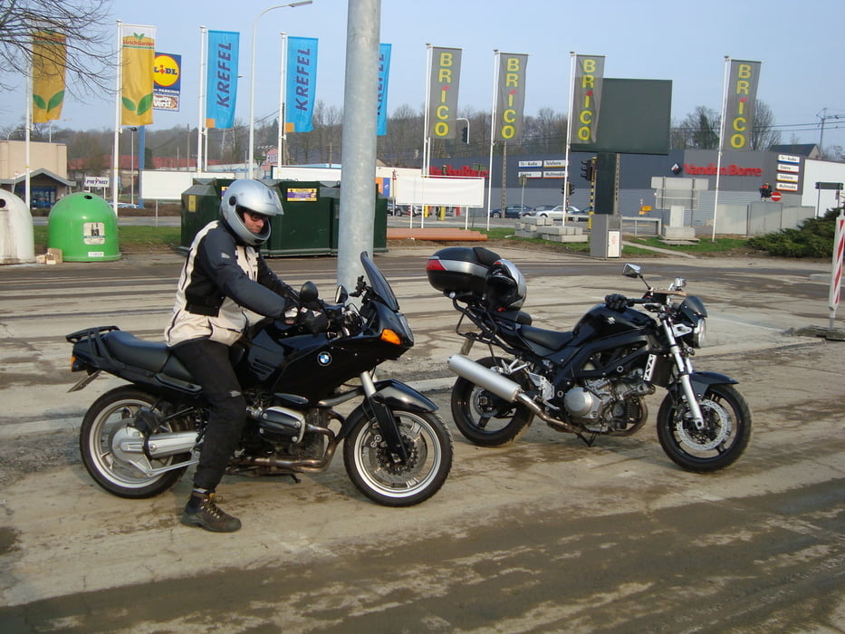
Regelmatig word er een betonnen wegeltje tussen de velden gedaan.

Bij regenweer kan dit modderig zijn, dit is afhankelijk van de modder die onze boeren achterlaten natuurlijk.

Галерея маршрутов

Карта маршрута и высотный профиль

  • Open Street Map
  • Google
Minimum height 29 m Maximum height 175 m Детальный вид

More about the tour author

ikkel
Member since 2009

Send private message

Комментарии

Op het hele traject kom je maar 4 flitscamera's tegen.

GPS-Tracks

Trackpoints
  • GPX / Garmin Map Source (gpx) download
  • TCX / Garmin Training Center® (tcx) download
  • CRS / Garmin Training Center® (crs) download
  • Google Earth (kml) download
  • G7ToWin (g7t) download
  • TTQV (trk) download
  • Overlay (ovl) download
  • Fugawi (txt) download
  • Kompass (DAV) Track (tk) download
  • Формуляр маршрута (pdf) download
  • Original file of the author (gpx) download

More about the tour author

ikkel
Member since 2009

Send private message
Share track
Add to my favorites
Remove from my favorites
Edit tags
My score
Rate
Маршрут: Openingsritje 2012
Вид: Мотоцикл
Длина: 112,7 km
Evaluated on:
Длительность:
Day(s)
Hour(s)
Minute(s)
Оценка: Ландшафт Веселье Кондиция Техника