Login

Забыл пароль?

Cookies have to be accepted!
Your browser's cookie functionality is disabled. Please enable this functionality.

Not a member yet?

Register now
Login

Available for registred users only

Log in to use this feature.

Забыл пароль?

Cookies have to be accepted!
Your browser's cookie functionality is disabled. Please enable this functionality.

Not a member yet?

Register now
Filter
Категории
Advanced filters
  • Длина (км)
  • Высотомер
Сохранить фильтр Reset filter

TrackRank

QRCode

Technical data

Длина45,1 km Высотомер656 m Way down665 m Длительность02:45 h:m Дата29.03.2012
Оценки Author Ландшафт Веселье Кондиция Техника

Статистика

477 Виды Оценки 35 Загрузки Среднее
Rate
  • Формуляр маршрута
  • Дорога
  • Загрузки
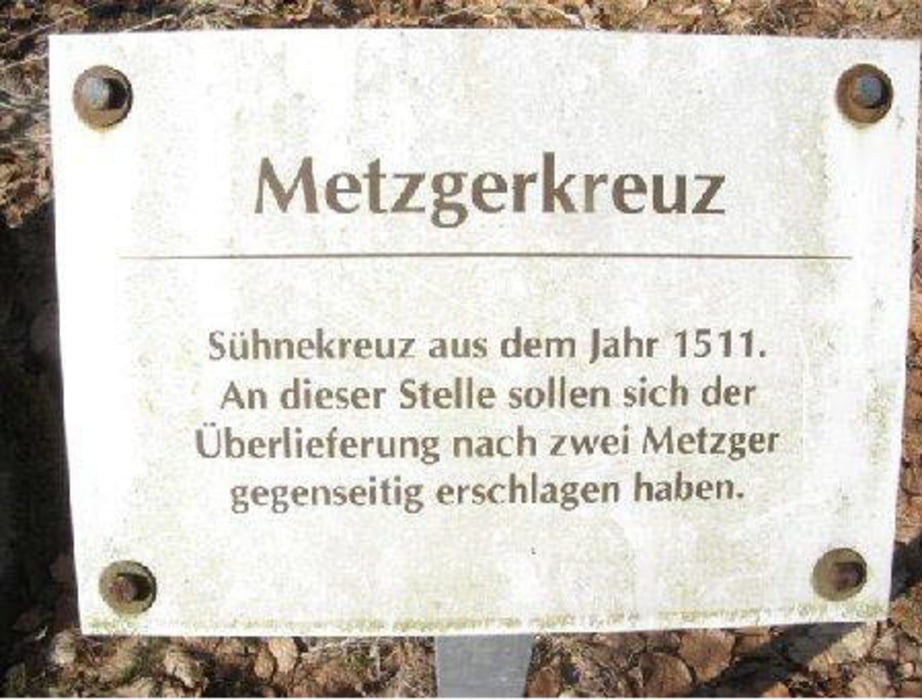
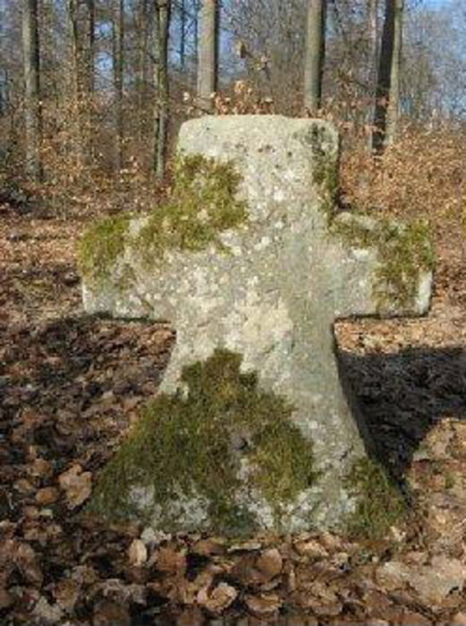
Von Zeil am Main in den Steigerwald, durch den Böhlgrund, vorbei am Wotansborn zum Metzgerkreuz. Siehe Bilder. Schöne Waldtour, einfach nachfahren und genießen.

Галерея маршрутов

Карта маршрута и высотный профиль

  • Open Street Map
  • Google
Minimum height 218 m Maximum height 464 m Детальный вид

More about the tour author

Astro
Member since 2009

Send private message

Комментарии

Zeil am Main liegt ca. in der Mitte von Schweinfurt und Bamberg an der B26

GPS-Tracks

Trackpoints
  • GPX / Garmin Map Source (gpx) download
  • TCX / Garmin Training Center® (tcx) download
  • CRS / Garmin Training Center® (crs) download
  • Google Earth (kml) download
  • G7ToWin (g7t) download
  • TTQV (trk) download
  • Overlay (ovl) download
  • Fugawi (txt) download
  • Kompass (DAV) Track (tk) download
  • Формуляр маршрута (pdf) download
  • Original file of the author (gpx) download

More about the tour author

Astro
Member since 2009

Send private message
Share track
Add to my favorites
Remove from my favorites
Edit tags
My score
Rate
Маршрут: Von Zeil am Main in den Steigerwald zum Metzgerkreuz
Вид: Горный велосипед
Длина: 45,1 km
Evaluated on:
Длительность:
Day(s)
Hour(s)
Minute(s)
Оценка: Ландшафт Веселье Кондиция Техника