

Greifenburg-Funder Alm-Waisacher Alm-Kreuzberg Sattel-
Techendorf-Greifenburg
Nach 3 km und 191 hm entdeckt, dass die Flasche noch
im Auto ist.
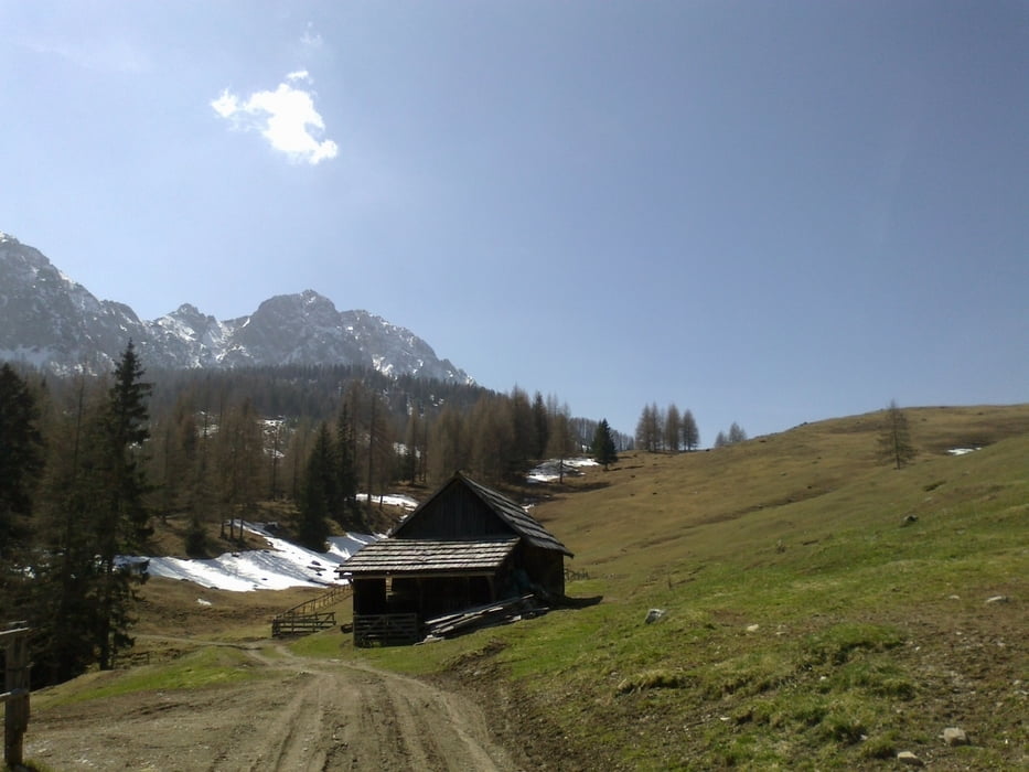
Richtung Compton Hütte leider vom Schnee gestoppt.
Reit- und Wanderkarte hat mich heute überm Weißensee in die Irre geleitet…
Sonst tolle Tour!
Галерея маршрутов


Карта маршрута и высотный профиль
Minimum height 590 m
Maximum height 1407 m
More about the tour author
|
|
mitter |
Комментарии

Greifenburg beim Lagerhaus
GPS-Tracks
Trackpoints-
GPX / Garmin Map Source (gpx) download
-
TCX / Garmin Training Center® (tcx) download
-
CRS / Garmin Training Center® (crs) download
-
Google Earth (kml) download
-
G7ToWin (g7t) download
-
TTQV (trk) download
-
Overlay (ovl) download
-
Fugawi (txt) download
-
Kompass (DAV) Track (tk) download
-
Формуляр маршрута (pdf) download
-
Original file of the author (gpx) download
More about the tour author
|
|
mitter |
Add to my favorites
Remove from my favorites
Edit tags
Open track
My score
Rate