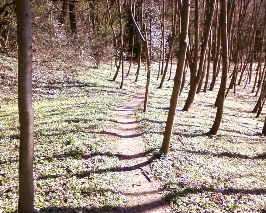
Start/Ziel ist Aachen Waldstadion. Von dort geht es durch den AachenerWald über Hahnbruch zum Dreiländereck. Es folgt ein Abstecher in den Vijlenerbos, dann entlang der B-NL-Grenze bis nach Gemmenich (B). Die Strecke verläuft nun entlang einer "ehemaligen Bahntrasse" bis nach Plombiers. Dann über einen schönen Trail entlang eines Baches bis nach Morsenet und zurück in der AachenerWald, bis zum Ausgangspunkt (AC-Waldstadion).
Галерея маршрутов
Карта маршрута и высотный профиль
Minimum height 151 m
Maximum height 349 m
Комментарии
GPS-Tracks
Trackpoints-
GPX / Garmin Map Source (gpx) download
-
TCX / Garmin Training Center® (tcx) download
-
CRS / Garmin Training Center® (crs) download
-
Google Earth (kml) download
-
G7ToWin (g7t) download
-
TTQV (trk) download
-
Overlay (ovl) download
-
Fugawi (txt) download
-
Kompass (DAV) Track (tk) download
-
Формуляр маршрута (pdf) download
-
Original file of the author (gpx) download
Add to my favorites
Remove from my favorites
Edit tags
Open track
My score
Rate


Panoramatour!
Danke für die Tourdaten!
Super !!!!
lg und Danke