


Meidling-PerchtoldsdorferHeide-Kreuzsattel-Sulz-
Sittendorf-Gaaden-Siegenfeld-Zobelhof-HoherLindkogel-
Baden-Helenental-Siegenfeld-Hinterbrühl-
MariaEnzersdorf-Brunn a. G.-Perchtoldsdorf-Meidling
Lindkogel ist super, Rückfahrt mit mehr Zeit
andere Variante wählen
Галерея маршрутов

Карта маршрута и высотный профиль
Minimum height 189 m
Maximum height 828 m
More about the tour author
|
|
mitter |
Комментарии

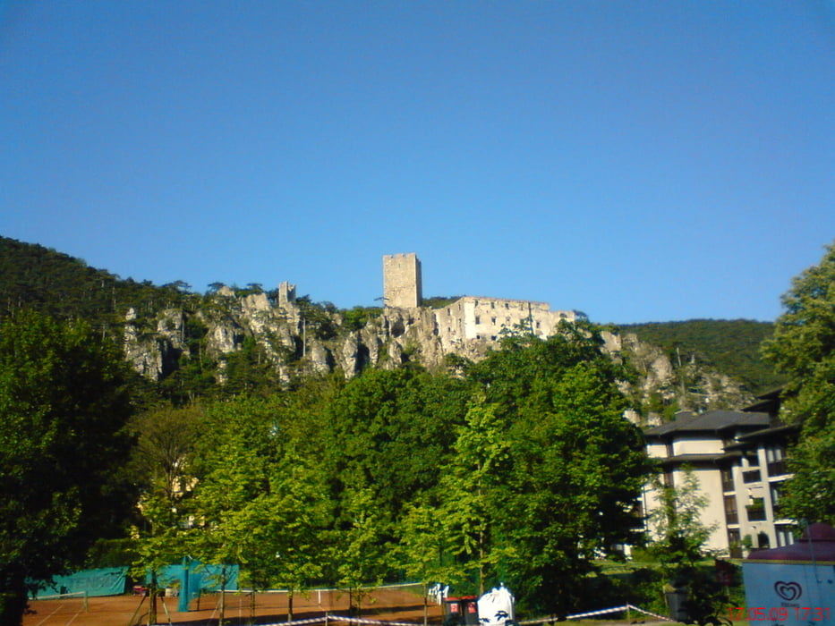
Start in Meidling
GPS-Tracks
Trackpoints-
GPX / Garmin Map Source (gpx) download
-
TCX / Garmin Training Center® (tcx) download
-
CRS / Garmin Training Center® (crs) download
-
Google Earth (kml) download
-
G7ToWin (g7t) download
-
TTQV (trk) download
-
Overlay (ovl) download
-
Fugawi (txt) download
-
Kompass (DAV) Track (tk) download
-
Формуляр маршрута (pdf) download
-
Original file of the author (gpx) download
More about the tour author
|
|
mitter |
Add to my favorites
Remove from my favorites
Edit tags
Open track
My score
Rate