Login

Забыл пароль?

Cookies have to be accepted!
Your browser's cookie functionality is disabled. Please enable this functionality.

Not a member yet?

Register now
Login

Available for registred users only

Log in to use this feature.

Забыл пароль?

Cookies have to be accepted!
Your browser's cookie functionality is disabled. Please enable this functionality.

Not a member yet?

Register now
Filter
Категории
Advanced filters
  • Длина (км)
  • Высотомер
Сохранить фильтр Reset filter

TrackRank

QRCode

Technical data

Длина7,7 km Высотомер301 m Way down329 m Длительность01:30 h:m Дата15.04.2012
Оценки Author Ландшафт Веселье Кондиция Техника

Статистика

497 Виды 1 Оценка 42 Загрузки 4.00 Среднее
Rate
  • Формуляр маршрута
  • Дорога
  • Загрузки


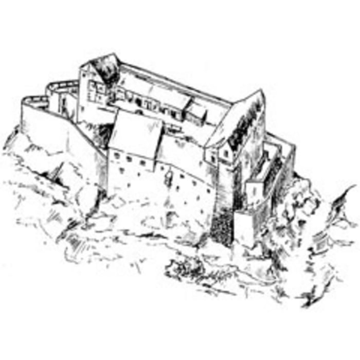
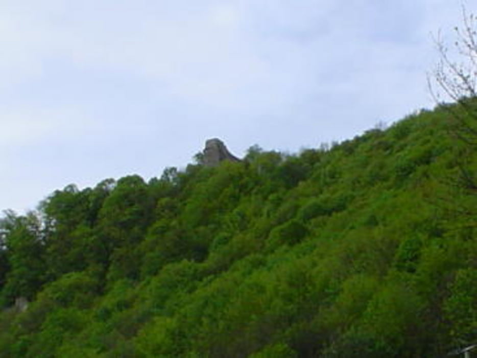
Rundtour, von Bad Urach - Wittlingen, zur Ruine Hohen Wittlingen, ins Ermstal, und wieder zurück..


Further information at

http://www.burgenreich.de/burgruine%20hohenwittlingen%20info.htm

Галерея маршрутов

Карта маршрута и высотный профиль

  • Open Street Map
  • Google
Minimum height 504 m Maximum height 753 m Детальный вид

More about the tour author

WOF_Bikebox
Member since 2010

Send private message

Комментарии


Stuttgart - Metzingen - Bad Urach -- Wittlingen - Ortsmitte


GPS-Tracks

Trackpoints
  • GPX / Garmin Map Source (gpx) download
  • TCX / Garmin Training Center® (tcx) download
  • CRS / Garmin Training Center® (crs) download
  • Google Earth (kml) download
  • G7ToWin (g7t) download
  • TTQV (trk) download
  • Overlay (ovl) download
  • Fugawi (txt) download
  • Kompass (DAV) Track (tk) download
  • Формуляр маршрута (pdf) download
  • Original file of the author (gpx) download

More about the tour author

WOF_Bikebox
Member since 2010

Send private message
Share track
Add to my favorites
Remove from my favorites
Edit tags
My score
Rate
Маршрут: Hohen Wittlingen
Вид: Пешеходный туризм
Длина: 7,7 km
Evaluated on:
Длительность:
Day(s)
Hour(s)
Minute(s)
Оценка: Ландшафт Веселье Кондиция Техника