Login

Забыл пароль?

Cookies have to be accepted!
Your browser's cookie functionality is disabled. Please enable this functionality.

Not a member yet?

Register now
Login

Available for registred users only

Log in to use this feature.

Забыл пароль?

Cookies have to be accepted!
Your browser's cookie functionality is disabled. Please enable this functionality.

Not a member yet?

Register now
Filter
Категории
Advanced filters
  • Длина (км)
  • Высотомер
Сохранить фильтр Reset filter

TrackRank

QRCode

Technical data

Длина49,1 km Высотомер981 m Way down985 m Длительность03:14 h:m Дата15.04.2012
Оценки Author Ландшафт Веселье Кондиция Техника

Статистика

569 Виды Оценки 16 Загрузки Среднее
Rate
  • Формуляр маршрута
  • Дорога
  • Загрузки

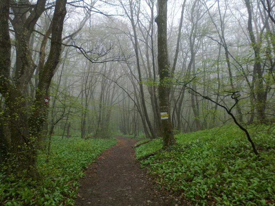
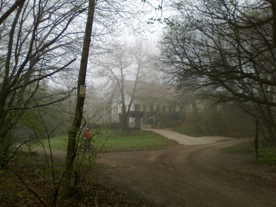
Meidling-Perchtoldsdorf-Heide-Kugelwiese-Seewiese-
Weissenbach-Krauste Linde-Anninger Haus-breite Föhre-
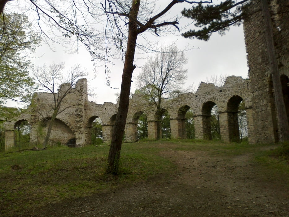
Amphitheater-Maria Enzersdorf-Brunn a. G.-Liesing-Meidling

nette Tour, Mödling von oben sehr interessant.
 

Галерея маршрутов

Карта маршрута и высотный профиль

  • Open Street Map
  • Google
Minimum height 189 m Maximum height 636 m Детальный вид

Комментарии


Wien Meidling


GPS-Tracks

Trackpoints
  • GPX / Garmin Map Source (gpx) download
  • TCX / Garmin Training Center® (tcx) download
  • CRS / Garmin Training Center® (crs) download
  • Google Earth (kml) download
  • G7ToWin (g7t) download
  • TTQV (trk) download
  • Overlay (ovl) download
  • Fugawi (txt) download
  • Kompass (DAV) Track (tk) download
  • Формуляр маршрута (pdf) download
  • Original file of the author (gpx) download
Share track
Add to my favorites
Remove from my favorites
Edit tags
My score
Rate
Маршрут: Anninger
Вид: Горный велосипед
Длина: 49,1 km
Evaluated on:
Длительность:
Day(s)
Hour(s)
Minute(s)
Оценка: Ландшафт Веселье Кондиция Техника