Login

Забыл пароль?

Cookies have to be accepted!
Your browser's cookie functionality is disabled. Please enable this functionality.

Not a member yet?

Register now
Login

Available for registred users only

Log in to use this feature.

Забыл пароль?

Cookies have to be accepted!
Your browser's cookie functionality is disabled. Please enable this functionality.

Not a member yet?

Register now
Filter
Категории
Advanced filters
  • Длина (км)
  • Высотомер
Сохранить фильтр Reset filter

TrackRank

QRCode

Technical data

Длина7,6 km Высотомер80 m Way down92 m Длительность01:40 h:m Дата22.04.2012
Оценки Author Ландшафт Веселье Кондиция Техника

Статистика

270 Виды Оценки 26 Загрузки Среднее
Rate
  • Формуляр маршрута
  • Дорога
  • Загрузки

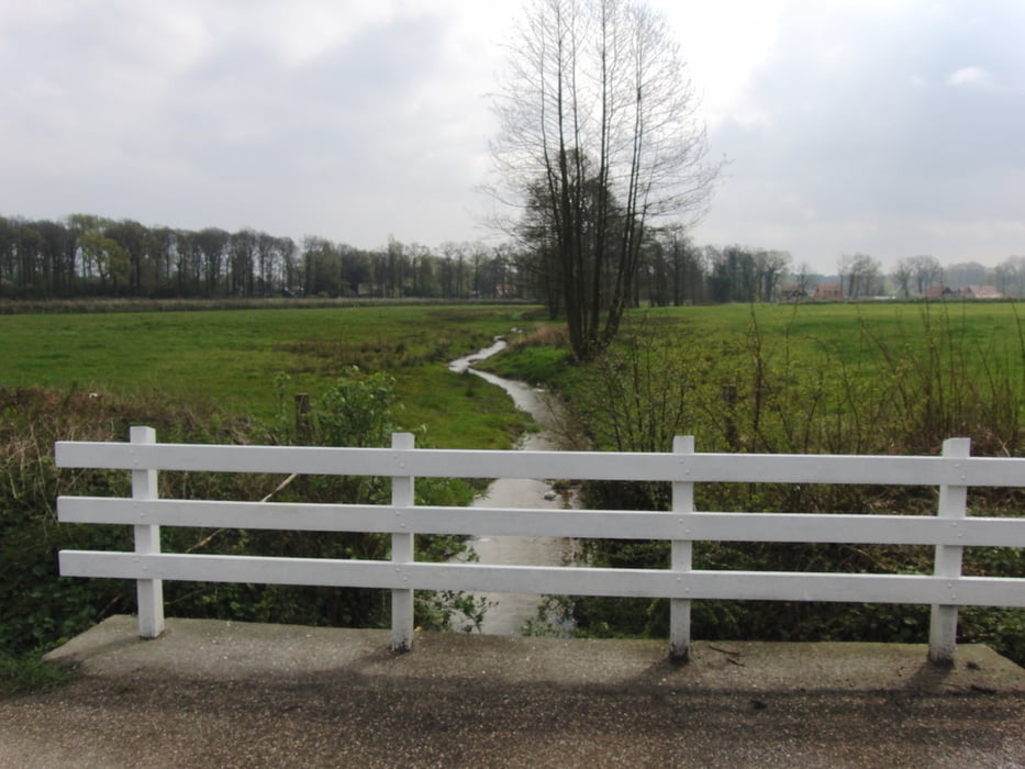
Bos / weilanden (zowel verharde als onverharde wegen),
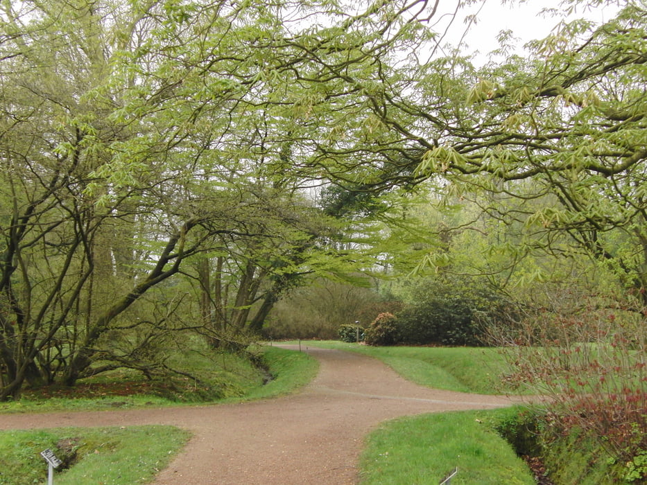
Via het Arboretum.

Галерея маршрутов

Карта маршрута и высотный профиль

  • Open Street Map
  • Google
Minimum height 8 m Maximum height 56 m Детальный вид

More about the tour author

tazzy23
Member since 2012

Send private message

Комментарии

Als startpunt: parkeerplaatsen bij de Kerk / Regiobank of op de parkeerplaats bij het Arboretum

GPS-Tracks

Trackpoints
  • GPX / Garmin Map Source (gpx) download
  • TCX / Garmin Training Center® (tcx) download
  • CRS / Garmin Training Center® (crs) download
  • Google Earth (kml) download
  • G7ToWin (g7t) download
  • TTQV (trk) download
  • Overlay (ovl) download
  • Fugawi (txt) download
  • Kompass (DAV) Track (tk) download
  • Формуляр маршрута (pdf) download
  • Original file of the author (gpx) download

More about the tour author

tazzy23
Member since 2012

Send private message
Share track
Add to my favorites
Remove from my favorites
Edit tags
My score
Rate
Маршрут: De Lutte
Вид: Пешеходный туризм
Длина: 7,6 km
Evaluated on:
Длительность:
Day(s)
Hour(s)
Minute(s)
Оценка: Ландшафт Веселье Кондиция Техника