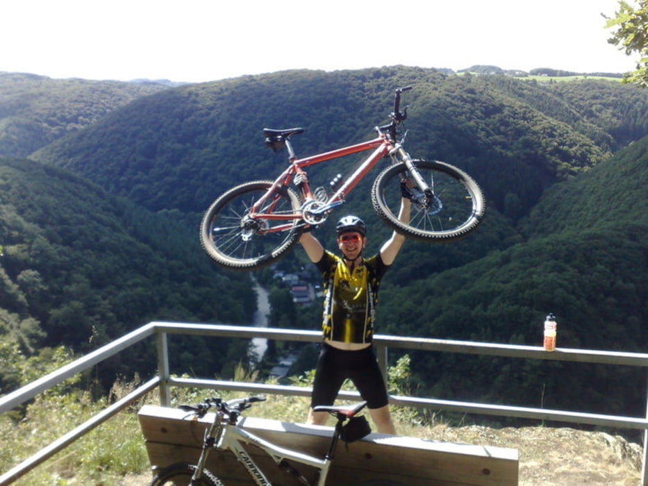
Die Tour fuehrt durch 5 Taeler links und rechts der Wied. Ausgangspunkt ist Hausen/Wied.
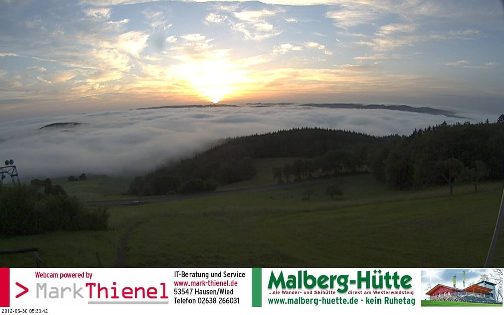
Zum Abschluss der Runde bietet sich ein Zwischenstopp auf der Malberghuette an. Von dort fuehrt der Track nur noch ueber Asphalt ins Tal, es gibt aber Alternativen die auf der Malberghuette erfragt werden koennen
Further information at
http://www.weizenbiker.deГалерея маршрутов
Карта маршрута и высотный профиль
Minimum height 111 m
Maximum height 376 m
Комментарии

Optimaler Ausgangspunkt ist der Parkplatz am Wiedtalbad in Hausen
www.wiedtalbad.de
GPS-Tracks
Trackpoints-
GPX / Garmin Map Source (gpx) download
-
TCX / Garmin Training Center® (tcx) download
-
CRS / Garmin Training Center® (crs) download
-
Google Earth (kml) download
-
G7ToWin (g7t) download
-
TTQV (trk) download
-
Overlay (ovl) download
-
Fugawi (txt) download
-
Kompass (DAV) Track (tk) download
-
Формуляр маршрута (pdf) download
-
Original file of the author (gpx) download
Add to my favorites
Remove from my favorites
Edit tags
Open track
My score
Rate


