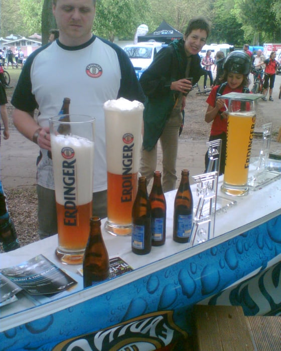
Wie jedes Jahr auch diesmal wieder eine schöne Tour. 70 Prozent wie im Vorjahr, 30 Prozent neu.
Liegt sicher am neuen Startpunkt. Diesmal nicht in Essen Steele sondern am Baldeneysee, Freiherr von Stein Strasse am Beachclub.
Галерея маршрутов
Карта маршрута и высотный профиль
Minimum height 40 m
Maximum height 220 m
Комментарии
Essen Baldeneysee, Freiherr von Stein Strasse 384, Beach Club
GPS-Tracks
Trackpoints-
GPX / Garmin Map Source (gpx) download
-
TCX / Garmin Training Center® (tcx) download
-
CRS / Garmin Training Center® (crs) download
-
Google Earth (kml) download
-
G7ToWin (g7t) download
-
TTQV (trk) download
-
Overlay (ovl) download
-
Fugawi (txt) download
-
Kompass (DAV) Track (tk) download
-
Формуляр маршрута (pdf) download
-
Original file of the author (gpx) download
Add to my favorites
Remove from my favorites
Edit tags
Open track
My score
Rate


heftig
trotzdem eine tolle runde für alle die eine herausforderung suchen.