
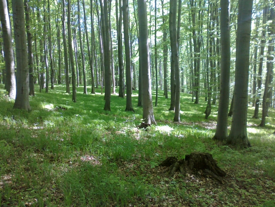

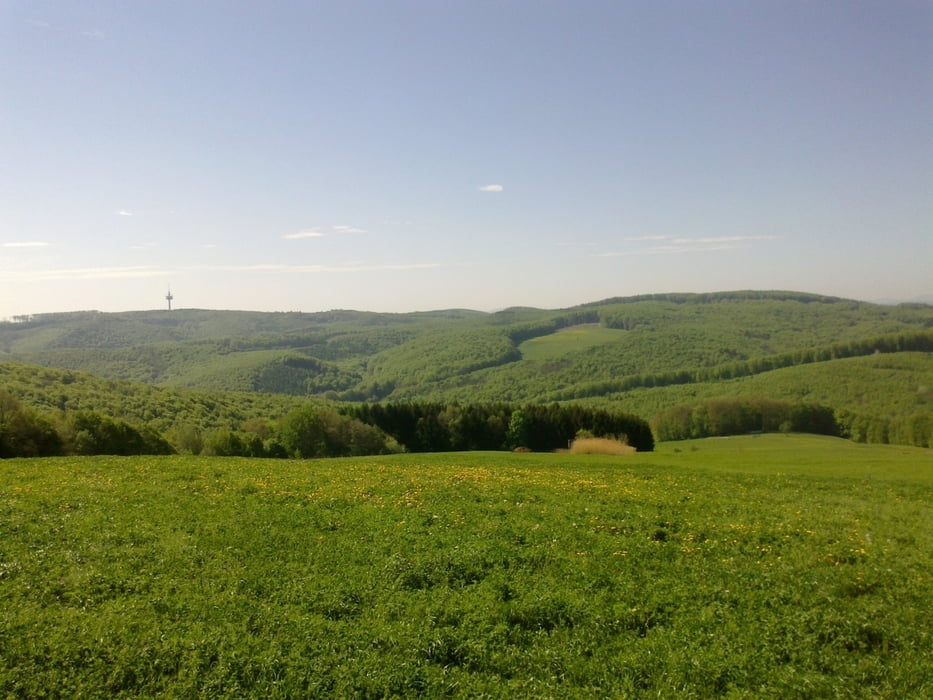
auf den Kahlenberg über den anspruchsvollen Waldbachsteig, hinunter nach Weidling, und gleich wieder in den Wald aufwärts (dieses Stück ist entbehrlich!, besser unterer Weg!), Rg. Windisch Hütte, kurz vorher durch die Wiese lässige Abfahrt, auf die Sophienalpe (tw. auch zu schieben), Mostalm (= lohnendes Ziel mit Schweinsbraten!), Wientalradweg retour.
Галерея маршрутов
Карта маршрута и высотный профиль
Minimum height 165 m
Maximum height 497 m
More about the tour author
|
|
mitter |
Комментарии

Wien Meidling
GPS-Tracks
Trackpoints-
GPX / Garmin Map Source (gpx) download
-
TCX / Garmin Training Center® (tcx) download
-
CRS / Garmin Training Center® (crs) download
-
Google Earth (kml) download
-
G7ToWin (g7t) download
-
TTQV (trk) download
-
Overlay (ovl) download
-
Fugawi (txt) download
-
Kompass (DAV) Track (tk) download
-
Формуляр маршрута (pdf) download
-
Original file of the author (gpx) download
More about the tour author
|
|
mitter |
Add to my favorites
Remove from my favorites
Edit tags
Open track
My score
Rate