Login

Zabudli ste prihlasovacia meno

Cookies have to be accepted!
Your browser's cookie functionality is disabled. Please enable this functionality.

Not a member yet?

Register now
Login

Available for registred users only

Log in to use this feature.

Zabudli ste prihlasovacia meno

Cookies have to be accepted!
Your browser's cookie functionality is disabled. Please enable this functionality.

Not a member yet?

Register now
Filter
Kategórie
Advanced filters
  • Dĺžka (km)
  • výškomer
Uložiť filter Reset filter

TrackRank

QRCode

Technical data

Dĺžka56,8 km výškomer735 m Way down784 m Doba04:00 h:m dátum17.05.2012
ohodnotenia Author User Kraj pôžitok z túry kondícia technika

štatistika

698 náhľady 3 ohodnotenia 88 Stiahnutia 4.33 priemer
Rate
  • list trasy
  • príjazd
  • Stiahnutia
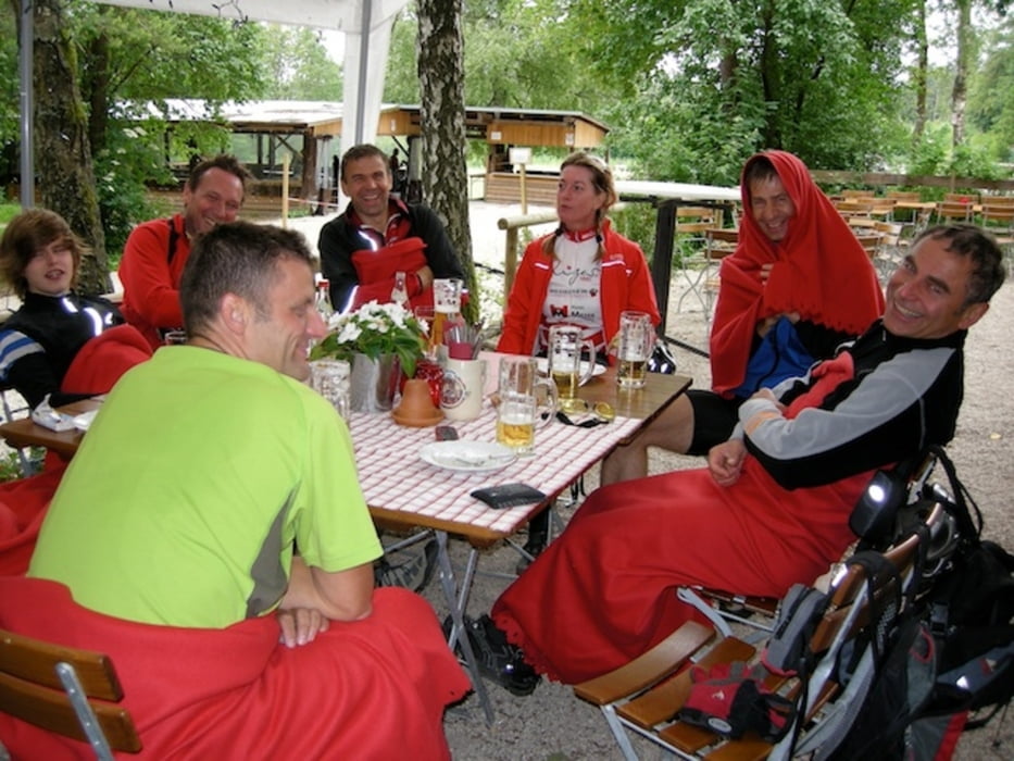
Sehr nette Strecke mit schönen Trails, kann zu allen Jahreszeiten gefahren werden. Einkehr unbedingt in der Edelweißhütte.

Further information at

http://www.mbraune.de

galéria trás

Mapa trasy a výškový profil

  • Open Street Map
  • Google
Minimum height 350 m Maximum height 589 m Detailný pohľad

More about the tour author

mbraune
Member since 2010

Send private message

komentáre

eisenbereifter3 on 17.06.2012

Streckenführung

Genial zusammengestellt! Respekt für diese Streckenführung. Bin schon viele Male dort hin gefahren. Dies ist aber wahrscheinlich die perfekteste Route auf Schotterwegen und Singletrails. Nur nach Regen sollte man die Strecke nicht unbedingt fahren. Die Streckenstücke auf dem Main-Donau-Weg sind dann ziemlich schlammig.
uweg on 09.07.2012

schöne tour

schöne tour, mit entspannter rückfahrt von der Edelweißhütte
Ausgangspunkt ist die Laubendorfer Straße in Schwarzenbruck, direkt am Ochenbrucker Bahnhof    S-Bahn S 3  Nürnberg-Neumarkt 

GPS trasy

Trackpoints
  • GPX / Garmin Map Source (gpx) download
  • TCX / Garmin Training Center® (tcx) download
  • CRS / Garmin Training Center® (crs) download
  • Google Earth (kml) download
  • G7ToWin (g7t) download
  • TTQV (trk) download
  • Overlay (ovl) download
  • Fugawi (txt) download
  • Kompass (DAV) Track (tk) download
  • list trasy (pdf) download
  • Original file of the author (gpx) download

More about the tour author

mbraune
Member since 2010

Send private message
Share track
Add to my favorites
Remove from my favorites
Edit tags
My score
Rate
trasa: Edelweißhütte
Druh: horský bicykel
Dĺžka: 56,8 km
Evaluated on:
Doba:
Day(s)
Hour(s)
Minute(s)
ohodnotenie: Kraj pôžitok z túry kondícia technika