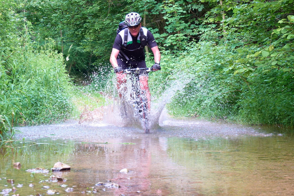
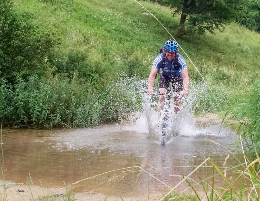
Nicht weniger als 4 Bachdurchfahrten. Habe die Tour im November entdeckt. Die nassen Füße waren ok. Bei knöchelhohen Schuhen sollten die Socken trocken bleiben, im Sommer ist es eh "wurscht" wenn der Fuß naß wird ! Interessante kurzweilige Tour.
galéria trás
Mapa trasy a výškový profil
Minimum height 344 m
Maximum height 549 m
komentáre

Start wie immer bei mir in Schwarzenbruck, Laubendorfer Straße gleich neben dem Ochenbrucker Bahnhof. S-Bahn Linie Nürnberg Neumarkt S3
GPS trasy
Trackpoints-
GPX / Garmin Map Source (gpx) download
-
TCX / Garmin Training Center® (tcx) download
-
CRS / Garmin Training Center® (crs) download
-
Google Earth (kml) download
-
G7ToWin (g7t) download
-
TTQV (trk) download
-
Overlay (ovl) download
-
Fugawi (txt) download
-
Kompass (DAV) Track (tk) download
-
list trasy (pdf) download
-
Original file of the author (gpx) download
Add to my favorites
Remove from my favorites
Edit tags
Open track
My score
Rate


