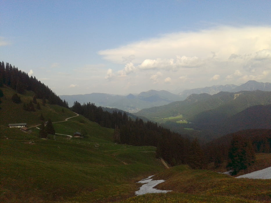
Nette sportliche Tour, wenn man mal nicht so viel Zeit hat.
Start am Söllbach-Parkplatz in Bad Wiessee, Asphaltstraße Richtung Bauer in der Au, nach rund einem Kilometer rechts weg auf der Forststraße die nächsten 4 Km mit ca. 500 Hm rauf zur Auer Alm. An der Auer Alm vorbei weiter Richtung Hirschtalsattel. Bei der Neuhüttenalm noch ca. 50 Hm rauf zum Neuhüttensattel (kann noch gut mit einem kurzen Aufstieg zum Fockstein verbunden werden, ca. 30 Minuten).
Mapa trasy a výškový profil
Minimum height 653 m
Maximum height 1421 m
komentáre

GPS trasy
Trackpoints-
GPX / Garmin Map Source (gpx) download
-
TCX / Garmin Training Center® (tcx) download
-
CRS / Garmin Training Center® (crs) download
-
Google Earth (kml) download
-
G7ToWin (g7t) download
-
TTQV (trk) download
-
Overlay (ovl) download
-
Fugawi (txt) download
-
Kompass (DAV) Track (tk) download
-
list trasy (pdf) download
-
Original file of the author (gpx) download
Add to my favorites
Remove from my favorites
Edit tags
Open track
My score
Rate


