
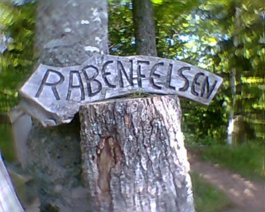

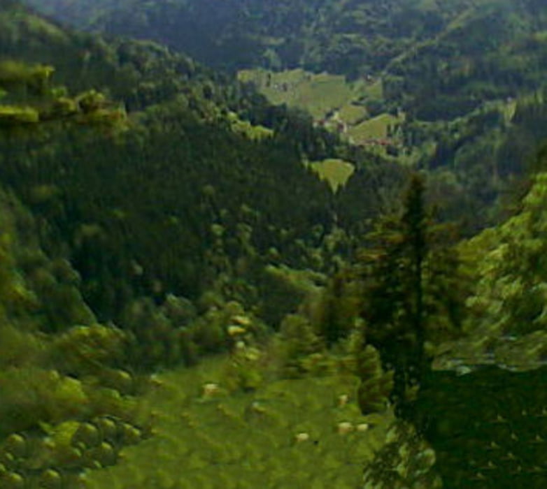
Parkmöglichkeit und Ausgangspunkt für die Wanderung bietet ein Parkplatz mit Spielplatz in Gütenbach, Schulstraße. Im Ort geht es steil bergauf am Sportplatz vorbei. Kurze Zeit später lohnt sich die Aussicht vom Rabenstein. Bei Fernsicht sind am Horizont der Feldberg und die Alpen zu sehen. Weiter geht es in stetem auf und ab u.a eine kurze Strecke auf dem Gütenbacher Abenteuerwanderweg über Felsen und Steine hautsächlich durch den Wald. Gutes Schuhwerk wird empfohlen.
galéria trás
Mapa trasy a výškový profil
Minimum height 704 m
Maximum height 1072 m
More about the tour author

|
hade |
komentáre

Von der B 500 aus Richtung Furtwangen und Titisee kommend bei Neueck auf die L 173 abfahren. Nach ca. 3 km kommt Gütenbach. Dort von der Hauptstraße in die Kreuzstrasse und nach wenigen Metern in die Schulstraße abbiegen. Dort ist auf der rechten Seite ein großer Parkplatz.
GPS trasy
Trackpoints-
GPX / Garmin Map Source (gpx) download
-
TCX / Garmin Training Center® (tcx) download
-
CRS / Garmin Training Center® (crs) download
-
Google Earth (kml) download
-
G7ToWin (g7t) download
-
TTQV (trk) download
-
Overlay (ovl) download
-
Fugawi (txt) download
-
Kompass (DAV) Track (tk) download
-
list trasy (pdf) download
-
Original file of the author (gpx) download
More about the tour author
|
|
hade |
Add to my favorites
Remove from my favorites
Edit tags
Open track
My score
Rate