


Die Tour beginnt am Parkplatz Schützen.
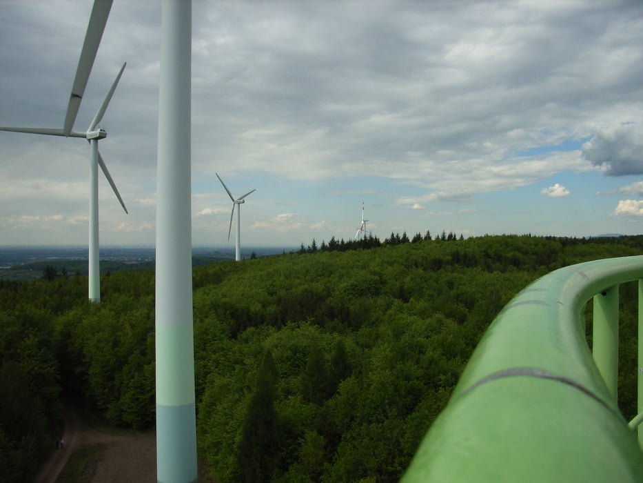
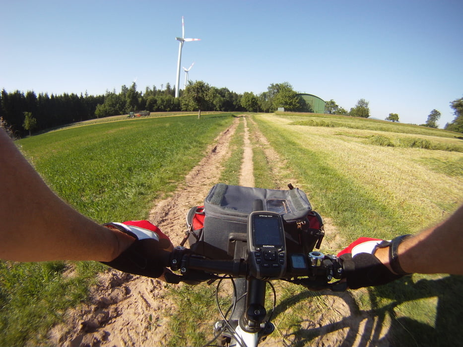
Dann geht’s über Ringsheim,Ettenheim,Wallburg zu den Windrädern
und dem Aussichtsturm mit herrlichem Fernblick.
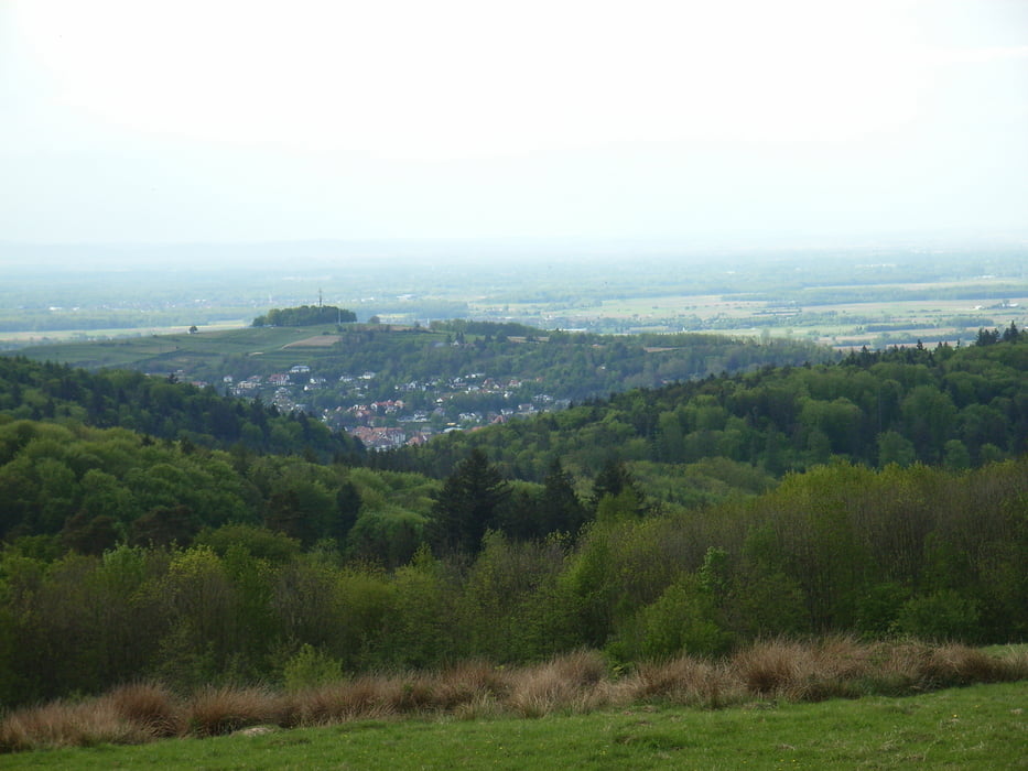
Weiter geht’s über den Hasenberg zum Langenhard mit fantastischem
Ausblick auf die Stadt Lahr und den Vorbergen des Schwarzwaldes .
Über Wallburg , Brudergarten erreichen wir Ettenheimmünster.
Im Münster befindet sich ein Brunnen mit Quellwasser, das kühle und
erfrischende Wasser stärkt für die Letzte Etappe.
Über den Berg zum Parkplatz Reute geht es das letzte Mal den Berg hoch.
Noch einmal hat man einen herrlichen Ausblick auf die Rheinebene und
die Vogesen.
Dann geht’s über Ringsheim,Ettenheim,Wallburg zu den Windrädern
und dem Aussichtsturm mit herrlichem Fernblick.
Weiter geht’s über den Hasenberg zum Langenhard mit fantastischem
Ausblick auf die Stadt Lahr und den Vorbergen des Schwarzwaldes .
Über Wallburg , Brudergarten erreichen wir Ettenheimmünster.
Im Münster befindet sich ein Brunnen mit Quellwasser, das kühle und
erfrischende Wasser stärkt für die Letzte Etappe.
Über den Berg zum Parkplatz Reute geht es das letzte Mal den Berg hoch.
Noch einmal hat man einen herrlichen Ausblick auf die Rheinebene und
die Vogesen.
galéria trás

Mapa trasy a výškový profil
Minimum height 169 m
Maximum height 493 m
More about the tour author
|
|
AJA95KG |
komentáre

GPS trasy
Trackpoints-
GPX / Garmin Map Source (gpx) download
-
TCX / Garmin Training Center® (tcx) download
-
CRS / Garmin Training Center® (crs) download
-
Google Earth (kml) download
-
G7ToWin (g7t) download
-
TTQV (trk) download
-
Overlay (ovl) download
-
Fugawi (txt) download
-
Kompass (DAV) Track (tk) download
-
list trasy (pdf) download
-
Original file of the author (gpx) download
More about the tour author
|
|
AJA95KG |
Add to my favorites
Remove from my favorites
Edit tags
Open track
My score
Rate