


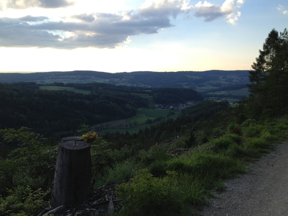
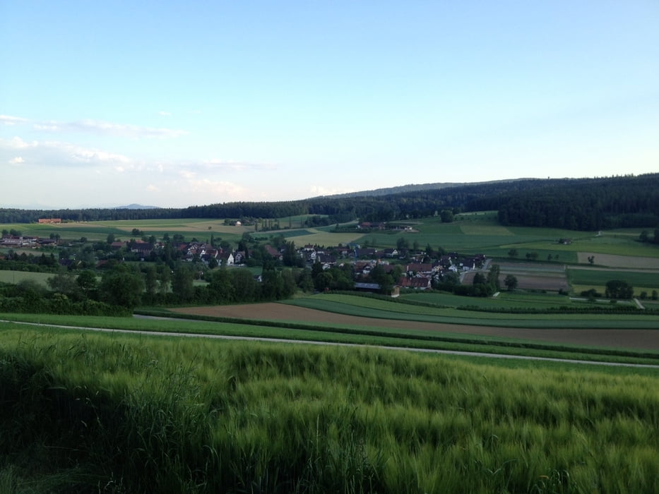
Abwechslungsreiche Tour, die in den Wäldern der 3 Täler zu bewältigen ist. Die meisten Wege führen durch gut gesicherte und mit Wanderwege gekennzeichnete Waldwege (zur besseren Orientierung, wenn das GPS Gerät mal ausfällt) . Aber auch Single Trails sind dabei, mit zum Teil steilen anstiegen.
galéria trás


Mapa trasy a výškový profil
Minimum height 99999 m
Maximum height -99999 m
More about the tour author
|
|
TORROROSSO |
komentáre

Start und Ziel Ausgangspunkt ist auf dem Parkplatz der Gemeinde Dielsdorf. Parkplätze sind genügend vorhanden (blaue Zone). 200m entfernt an der Hauptkreuzung Wehntalerstrasse/Bahnhofstrasse hat es ein Velogeschäft (Jack Müller), falls bedarf vorhanden.
GPS trasy
Trackpoints-
GPX / Garmin Map Source (gpx) download
-
TCX / Garmin Training Center® (tcx) download
-
CRS / Garmin Training Center® (crs) download
-
Google Earth (kml) download
-
G7ToWin (g7t) download
-
TTQV (trk) download
-
Overlay (ovl) download
-
Fugawi (txt) download
-
Kompass (DAV) Track (tk) download
-
list trasy (pdf) download
-
Original file of the author (gpx) download
More about the tour author
|
|
TORROROSSO |
Add to my favorites
Remove from my favorites
Edit tags
Open track
My score
Rate