Login

Zabudli ste prihlasovacia meno

Cookies have to be accepted!
Your browser's cookie functionality is disabled. Please enable this functionality.

Not a member yet?

Register now
Login

Available for registred users only

Log in to use this feature.

Zabudli ste prihlasovacia meno

Cookies have to be accepted!
Your browser's cookie functionality is disabled. Please enable this functionality.

Not a member yet?

Register now
Filter
Kategórie
Advanced filters
  • Dĺžka (km)
  • výškomer
Uložiť filter Reset filter

TrackRank

QRCode

Technical data

Dĺžka15,4 km výškomer339 m Way down355 m Doba04:00 h:m dátum31.05.2012
ohodnotenia Author Kraj pôžitok z túry kondícia technika

štatistika

860 náhľady ohodnotenia 15 Stiahnutia priemer
Rate
  • list trasy
  • príjazd
  • Stiahnutia

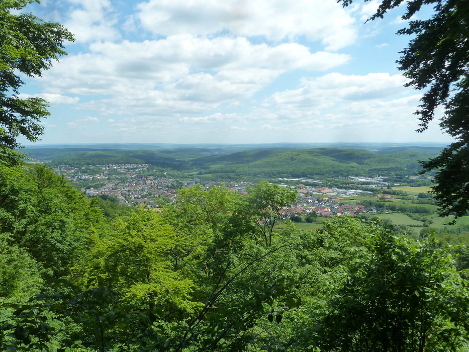
Sehr schöne Strecke ohne nennenswerte Steigungen. Auf der Iburg (Halbzeit) gibt es ein Restaurant mit Blick auf Bad Driburg.


galéria trás

Mapa trasy a výškový profil

  • Open Street Map
  • Google
Minimum height 278 m Maximum height 428 m Detailný pohľad

More about the tour author

koelner1977
Member since 2012

Send private message

komentáre

Einzig der Startpunkt ist etwas schwer zu finden... am besten auf Googlemap gut anschauen.


GPS trasy

Trackpoints
  • GPX / Garmin Map Source (gpx) download
  • TCX / Garmin Training Center® (tcx) download
  • CRS / Garmin Training Center® (crs) download
  • Google Earth (kml) download
  • G7ToWin (g7t) download
  • TTQV (trk) download
  • Overlay (ovl) download
  • Fugawi (txt) download
  • Kompass (DAV) Track (tk) download
  • list trasy (pdf) download
  • Original file of the author (gpx) download

More about the tour author

koelner1977
Member since 2012

Send private message
Share track
Add to my favorites
Remove from my favorites
Edit tags
My score
Rate
trasa: Neuenheerse-Klusenberg-Iburg aus Rother Wanderführer Teuteburger Wald Nr. 7
Druh: trasa
Dĺžka: 15,4 km
Evaluated on:
Doba:
Day(s)
Hour(s)
Minute(s)
ohodnotenie: Kraj pôžitok z túry kondícia technika