
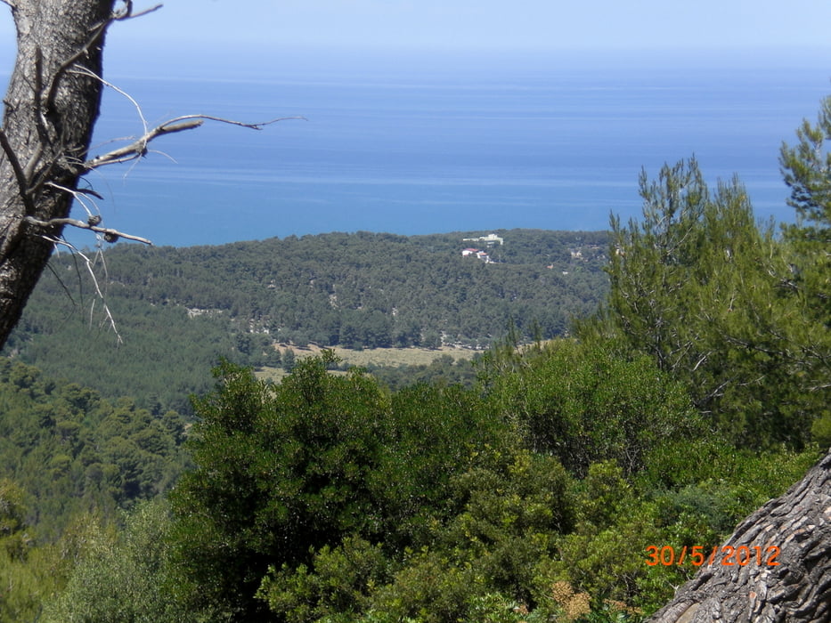

vom Camping Manacore International fahren wir auf der Küstenstrasse Richtung Vieste. Nach ca. 4 km gehts hinauf zum Coppa dei Fossi. am Ende der Schotterpiste fahren wir rechts Richtung Peschici auf einer Schlaglochpiste. Durch Peschici fahren wir durch um dann auf einem schönen Weg hinauf zu einem Picknickplatz zu fahren. Von dort fahren wir ein Stück auf der Teerstrasse um dann nach ca. 3 km in den Foreste Umbra hinein zu fahren. Wir überqueren die Strasse die zum Foreste hinauf führt und fahren vorbei am Monte Iacontenente zur Militärstation. Wir überqueren die Leitplanken und fahren am Zaun der Militärstation hinab am Muso Storto vorbei wieder hinunter an die Küstenstrasse.
Further information at
http://www.garganobike.com/de/Mapa trasy a výškový profil
Minimum height 10 m
Maximum height 847 m
More about the tour author
|
|
Fruehaufsteher |
komentáre

GPS trasy
Trackpoints-
GPX / Garmin Map Source (gpx) download
-
TCX / Garmin Training Center® (tcx) download
-
CRS / Garmin Training Center® (crs) download
-
Google Earth (kml) download
-
G7ToWin (g7t) download
-
TTQV (trk) download
-
Overlay (ovl) download
-
Fugawi (txt) download
-
Kompass (DAV) Track (tk) download
-
list trasy (pdf) download
-
Original file of the author (gpx) download
More about the tour author
|
|
Fruehaufsteher |
Add to my favorites
Remove from my favorites
Edit tags
Open track
My score
Rate