


Start in der Falkenstraße mit Kirmesbesichtigung und Zweitstart in der Humboldtstraße (bei Jürgen), weiter ins Ennepetal bis zum Schild "Lauftreff", hier nach li. bis zur K 3 und weiter zur Neye bis zum Abzweig "Groß-Blumberg", weiter nach re. und wieder nach li. hinunter zur Siedlung Neye und weiter über den Radweg nach Hückeswagen. Nach Cappu und Apfelkuchen bzw. Waffeln wollten wir erst noch zur Wupper, mussten uns wegen der dunklen Regenfront aber umorientieren. Also auf direktem Weg zur Bever, diese tlw. umrunden, weiter bis In der Bever und Schwenke und nach einigen "Schlenkern" nach Hause, nicht ohne auf der Kirmes noch einige Reibeplätzchen zu "futtern".
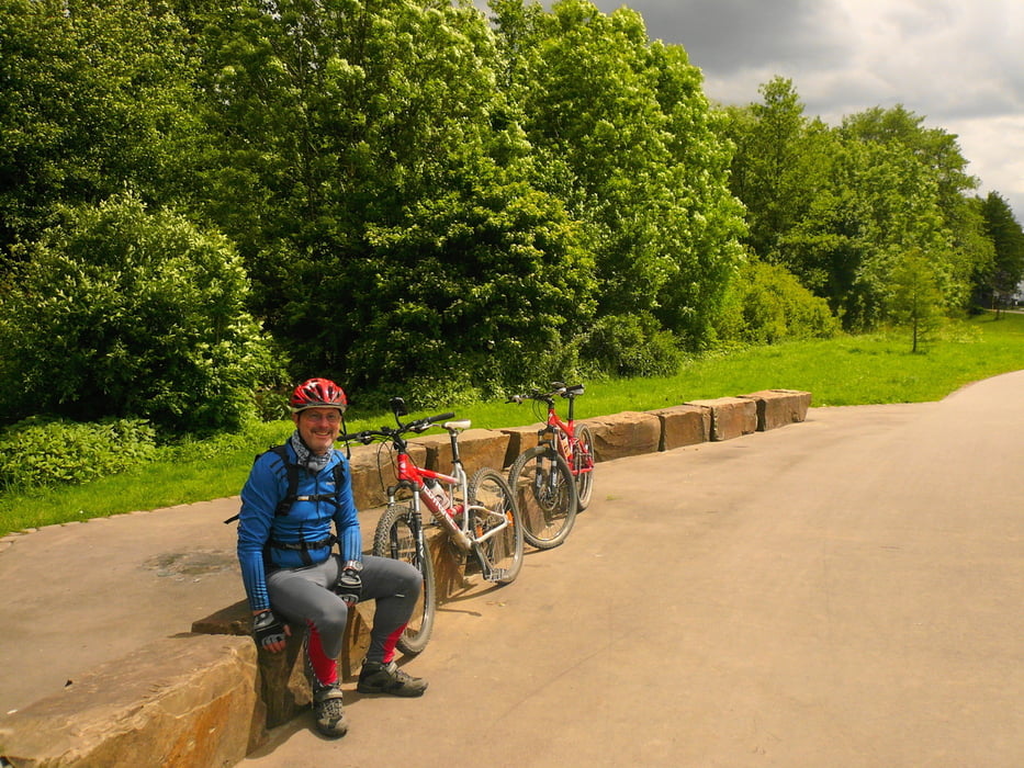
Wieder mal ins Rheinland ohne große Anstrengungen, bei für Biken super Temperaturen und dem Glück, dass es nicht geregnet hat.
galéria trás


Mapa trasy a výškový profil
Minimum height 256 m
Maximum height 428 m
More about the tour author
|
|
neuser |
komentáre

wie immer
GPS trasy
Trackpoints-
GPX / Garmin Map Source (gpx) download
-
TCX / Garmin Training Center® (tcx) download
-
CRS / Garmin Training Center® (crs) download
-
Google Earth (kml) download
-
G7ToWin (g7t) download
-
TTQV (trk) download
-
Overlay (ovl) download
-
Fugawi (txt) download
-
Kompass (DAV) Track (tk) download
-
list trasy (pdf) download
-
Original file of the author (gpx) download
More about the tour author
|
|
neuser |
Add to my favorites
Remove from my favorites
Edit tags
Open track
My score
Rate