Login

Zabudli ste prihlasovacia meno

Cookies have to be accepted!
Your browser's cookie functionality is disabled. Please enable this functionality.

Not a member yet?

Register now
Login

Available for registred users only

Log in to use this feature.

Zabudli ste prihlasovacia meno

Cookies have to be accepted!
Your browser's cookie functionality is disabled. Please enable this functionality.

Not a member yet?

Register now
Filter
Kategórie
Advanced filters
  • Dĺžka (km)
  • výškomer
Uložiť filter Reset filter

TrackRank

QRCode

Technical data

Dĺžka89,1 km výškomer2492 m Way down2490 m Doba05:54 h:m dátum10.06.2012
ohodnotenia Author Kraj pôžitok z túry kondícia technika

štatistika

725 náhľady ohodnotenia 102 Stiahnutia priemer
Rate
  • list trasy
  • príjazd
  • Stiahnutia
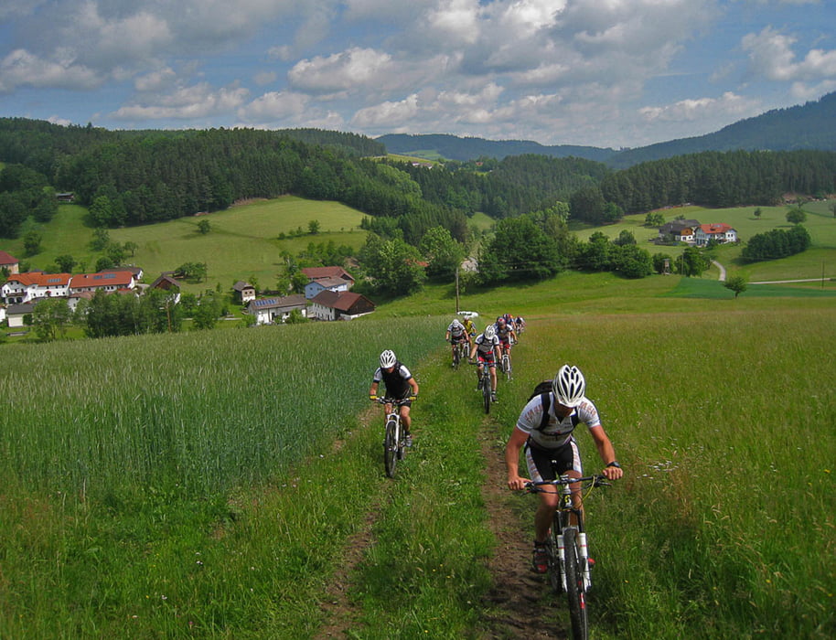
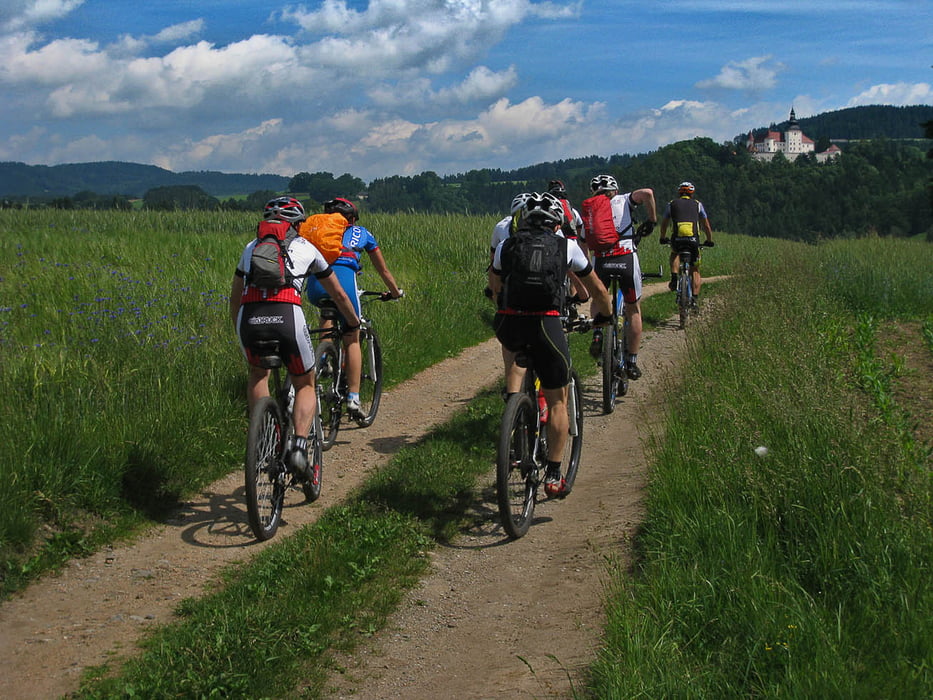
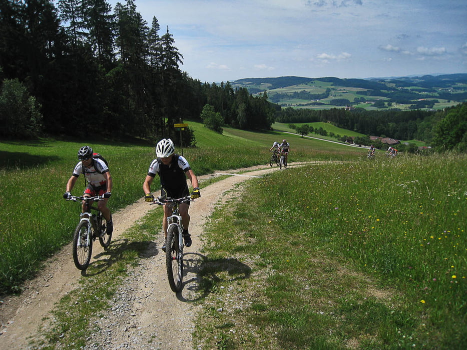
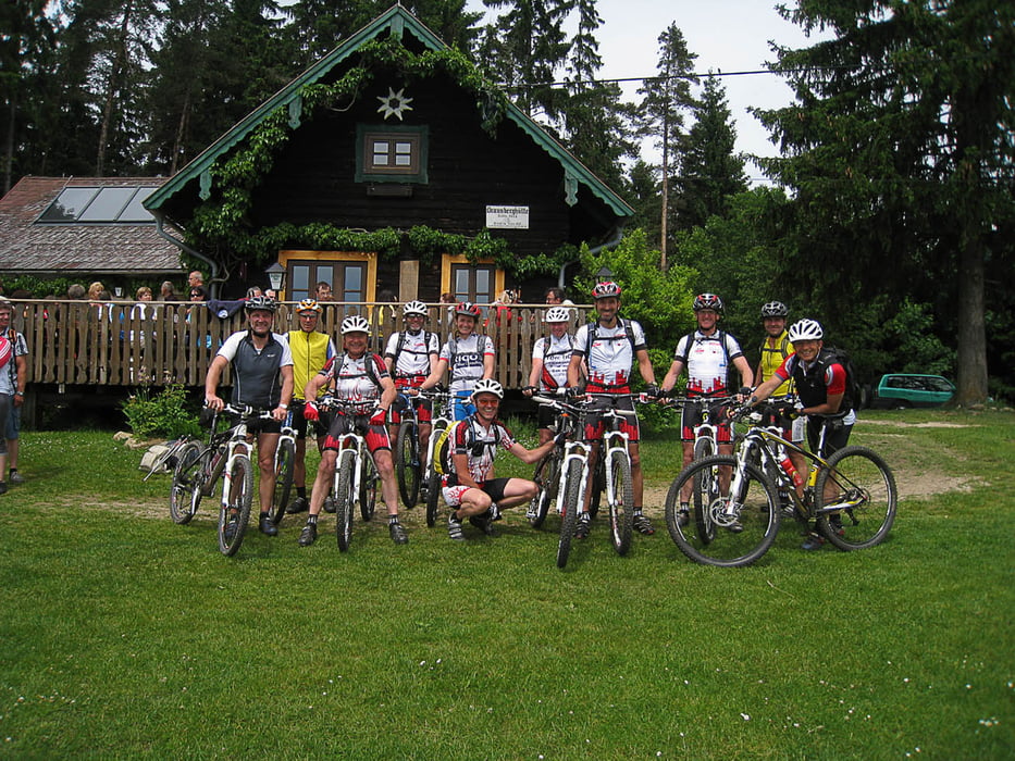
Eine wunderschöne Tour durchs hügelige Mühlviertel. Einige Anstiege in der ersten Hälfte sind ganz schön steil, es warten aber auch tolle Trails auf den Biker. Für eine Rast ist die Braunberghütte zu empfehlen.

galéria trás

Mapa trasy a výškový profil

  • Open Street Map
  • Google
Minimum height 475 m Maximum height 927 m Detailný pohľad

More about the tour author

andidandi
Member since 2008

Send private message

komentáre

GPS trasy

Trackpoints
  • GPX / Garmin Map Source (gpx) download
  • TCX / Garmin Training Center® (tcx) download
  • CRS / Garmin Training Center® (crs) download
  • Google Earth (kml) download
  • G7ToWin (g7t) download
  • TTQV (trk) download
  • Overlay (ovl) download
  • Fugawi (txt) download
  • Kompass (DAV) Track (tk) download
  • list trasy (pdf) download
  • Original file of the author (gpx) download

More about the tour author

andidandi
Member since 2008

Send private message
Share track
Add to my favorites
Remove from my favorites
Edit tags
My score
Rate
trasa: Von der Eidenberger Alm auf die Braunberghütte
Druh: horský bicykel
Dĺžka: 89,1 km
Evaluated on:
Doba:
Day(s)
Hour(s)
Minute(s)
ohodnotenie: Kraj pôžitok z túry kondícia technika