


Die Tour Nr. 1 wurde aus dem Rother Wanderführer "Bergisches Land" von Sabine Keller entnommen.
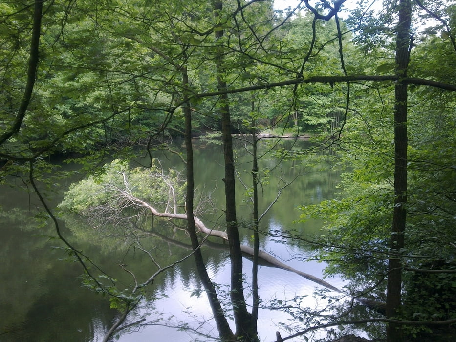
Sie hatte ein paar kurze knackige Anstiege, war aber ansonsten nicht besonders anstrengend. Es ging sehr viel durch den Wald und eher weniger unter freiem Himmel. Die Strecke kann man sichr auch an heißen Tagen wandern ohne "zu kochen".
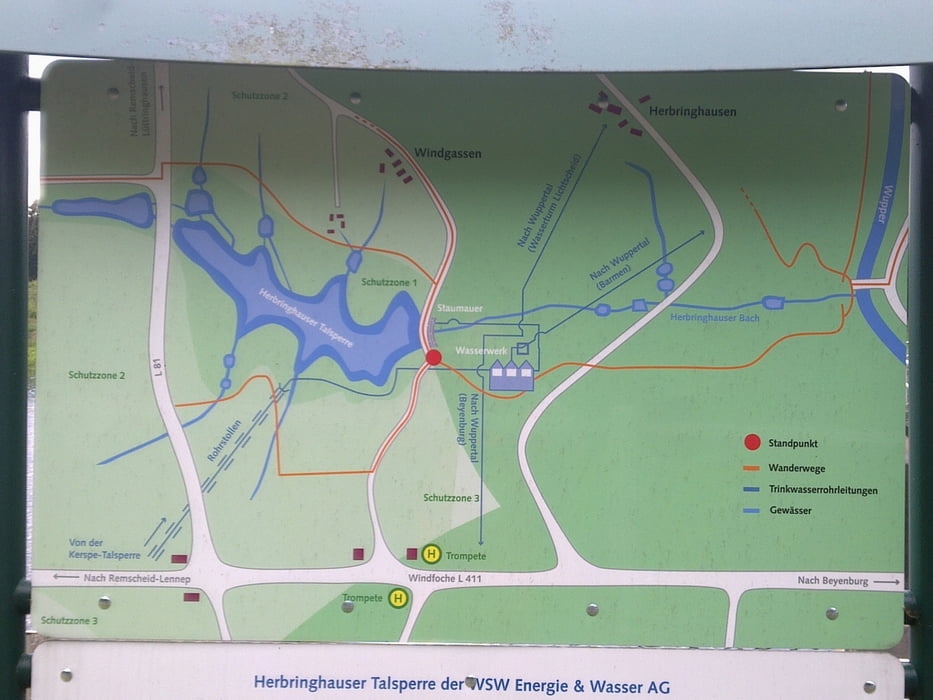
Den letzte Abzweig zurück zum Start findet man ohne Navi eher nicht, den in der Karte eingezeichneten Trampelpfad ist fast nicht existient.
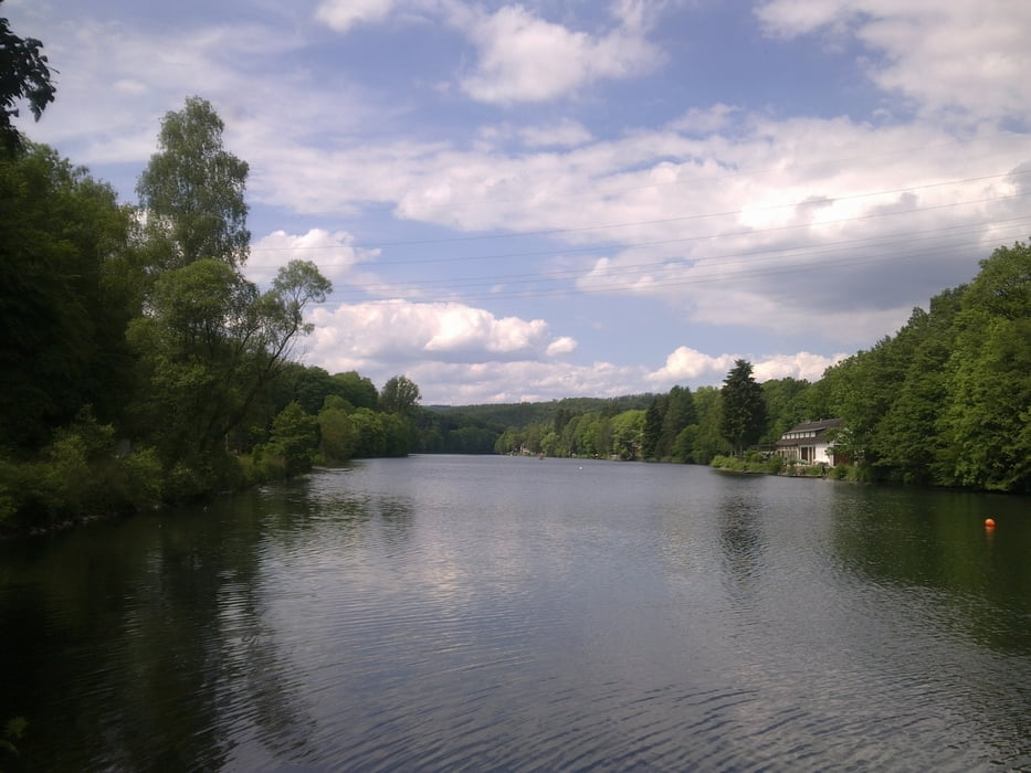
Das Örtchen Beyenburg ist sehr schön, hier findet man bestimmt auch eine gute Einkehrmöglichkeit (wenn man nicht wie wir zur "Unzeit" gegen 15:30 Uhr eine Einkehr sucht). Vorher kommt man aber an Bootshäusern vorbei, bei denen es Kaffee, Waffeln und Kuchen gibt.
galéria trás
Mapa trasy a výškový profil
Minimum height 190 m
Maximum height 322 m
More about the tour author
|
|
Zoellig |
komentáre

Parkplatz Kemna an der L527 vor Beyenburg
(Navi: 42399 Kemna, Beyenburger Str. / Theodor-Schröder-Weg)
GPS trasy
Trackpoints-
GPX / Garmin Map Source (gpx) download
-
TCX / Garmin Training Center® (tcx) download
-
CRS / Garmin Training Center® (crs) download
-
Google Earth (kml) download
-
G7ToWin (g7t) download
-
TTQV (trk) download
-
Overlay (ovl) download
-
Fugawi (txt) download
-
Kompass (DAV) Track (tk) download
-
list trasy (pdf) download
-
Original file of the author (gpx) download
More about the tour author
|
|
Zoellig |
Add to my favorites
Remove from my favorites
Edit tags
Open track
My score
Rate