Login

Zabudli ste prihlasovacia meno

Cookies have to be accepted!
Your browser's cookie functionality is disabled. Please enable this functionality.

Not a member yet?

Register now
Login

Available for registred users only

Log in to use this feature.

Zabudli ste prihlasovacia meno

Cookies have to be accepted!
Your browser's cookie functionality is disabled. Please enable this functionality.

Not a member yet?

Register now
Filter
Kategórie
Advanced filters
  • Dĺžka (km)
  • výškomer
Uložiť filter Reset filter

TrackRank

QRCode

Technical data

Dĺžka42,6 km výškomer1237 m Way down1220 m Doba03:30 h:m dátum17.06.2012
ohodnotenia Author User Kraj pôžitok z túry kondícia technika

štatistika

677 náhľady 2 ohodnotenia 89 Stiahnutia 3.00 priemer
Rate
  • list trasy
  • príjazd
  • Stiahnutia
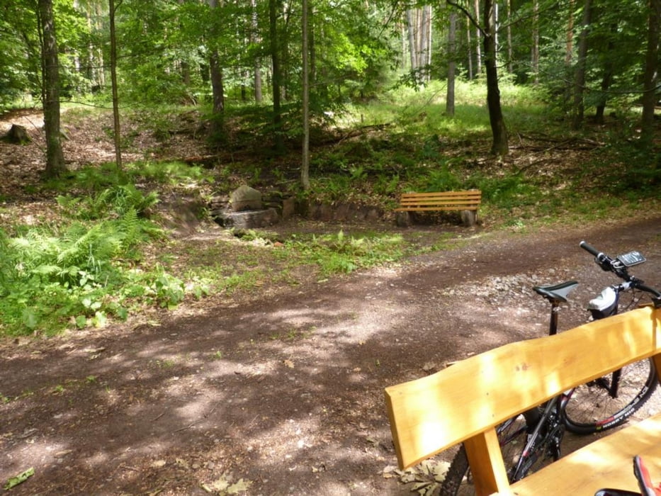
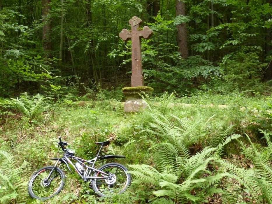
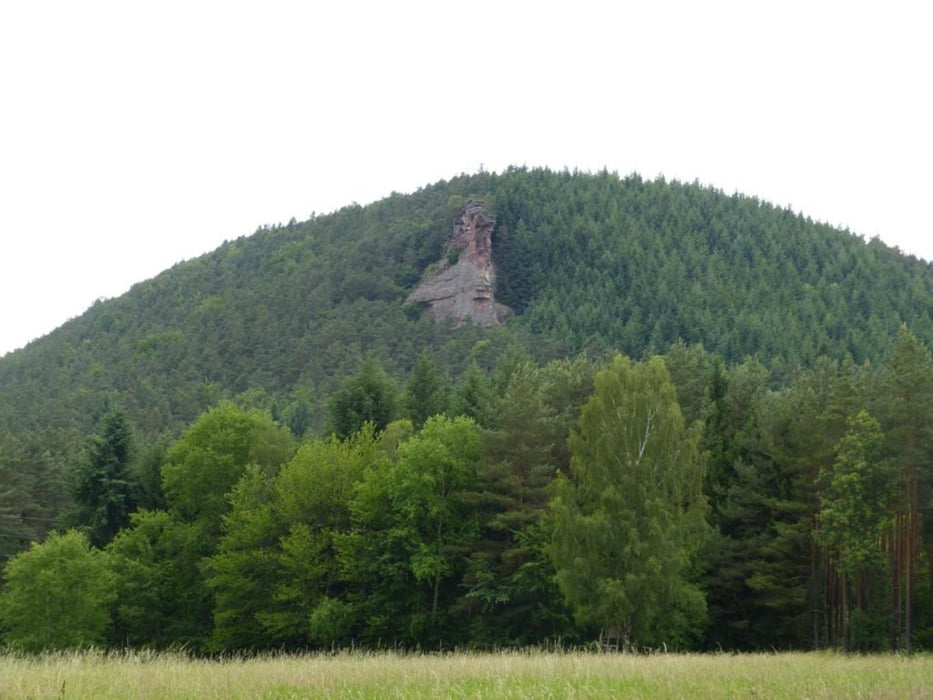
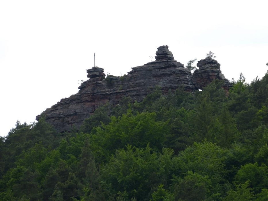
Von Rechtenbach aus zum Hirzeck immer rauf. Dann Franzosenweg (Trail) nach Reisdorf runter. Vorn dort hoch (Asphalt) zum Hirzeckhaus (geöffnet Sonn- und Feiertag). Trail runter zum Seehof. Durch Erlenbach hoch (Asphalt) zur Drachenfelshütte (Wochenende geöffnet). Von dort z.T. Trail runter und rauf nach Bundenthal. Ab Bundenthal Lautertalradweg (flach Asphalt) bis Germanshof- F-Weiler. Dort hoch auf Pauliner Schloss und Weinlehrpfad runter nach Rechtenbach. Abwechslungsreiche Tour. Von allem was dabei. Einkehrmöglichkeit unterwegs.

galéria trás

Mapa trasy a výškový profil

  • Open Street Map
  • Google
Minimum height 167 m Maximum height 473 m Detailný pohľad

More about the tour author

pwkoerner
Member since 2012

Send private message

komentáre

schnitzel_de on 12.10.2014

sehr wenig Trails

Eine schöne Tour durch wunderbare Natur. Ein paar schöne Trails sind auch dabei. Leider ist fast die Hälfte der Strecke auf geteerten Radwegen zu fahren und es sind viele breite Forstwege dabei.
Somit gehen die wenigen Trails unter.

GPS trasy

Trackpoints
  • GPX / Garmin Map Source (gpx) download
  • TCX / Garmin Training Center® (tcx) download
  • CRS / Garmin Training Center® (crs) download
  • Google Earth (kml) download
  • G7ToWin (g7t) download
  • TTQV (trk) download
  • Overlay (ovl) download
  • Fugawi (txt) download
  • Kompass (DAV) Track (tk) download
  • list trasy (pdf) download
  • Original file of the author (gpx) download

More about the tour author

pwkoerner
Member since 2012

Send private message
Share track
Add to my favorites
Remove from my favorites
Edit tags
My score
Rate
trasa: Hirzeck-Drachenfels
Druh: horský bicykel
Dĺžka: 42,6 km
Evaluated on:
Doba:
Day(s)
Hour(s)
Minute(s)
ohodnotenie: Kraj pôžitok z túry kondícia technika