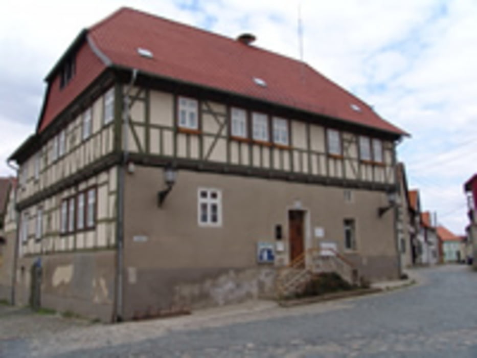
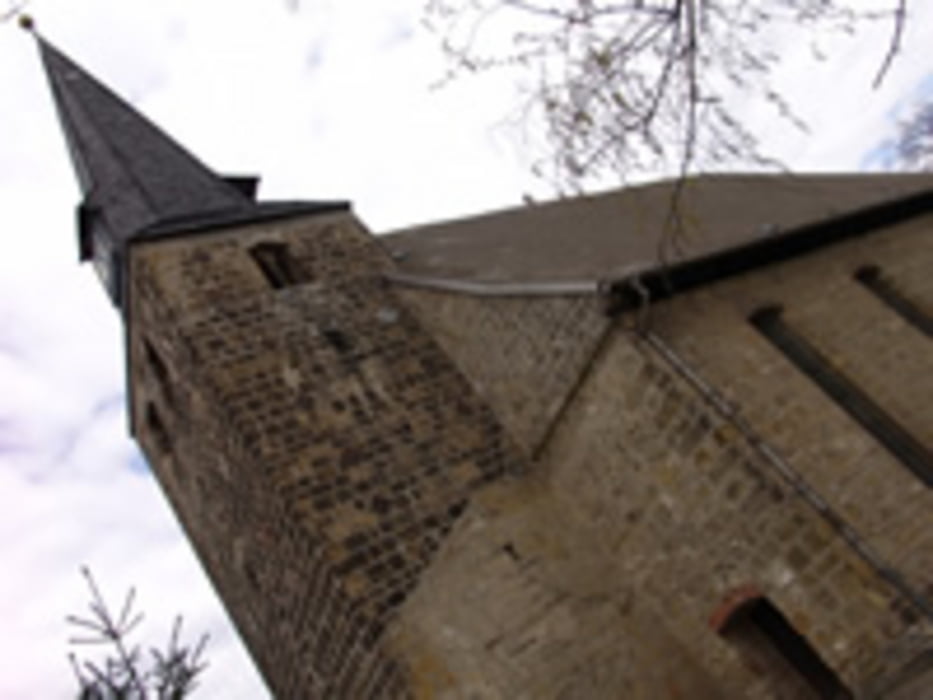
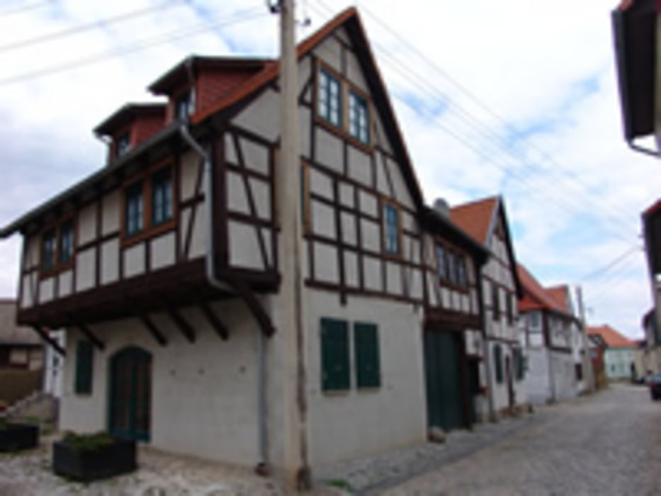
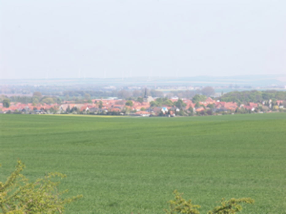
Eine kleine Wanderung durch Harsleben zur lehrreichen Erbauung und lustigen Schatzsuche.
Plane für diese Tour mindestens 1,5 bis 2 Stunden Zeit ein. Sie führt Dich kreuz und quer durch Harsleben und Dir wird nichts weiter übrig bleiben als alles zu erwandern.
Für viele Informationen, die Du während der Tour über Harsleben erfahren kannst, gibt es einen Wherigo, den Du Dir auf Dein Navi (so es diese abspielen kann) oder Smartphone laden kannst. Smartphones benötigen eine extra App zum Abspielen von Wherigos, die kostenlos geladen werden kann.
Die gwz-Datei kannst Du Dir mit dem Link unten laden bzw. findest sie auf Wherigo.com unter Sachsen-Anhalt.
Solltest Du diese Tour als Geocacher machen ist etwas zum Schreiben hilfreich. Ein kleines Picknick am Ende rundet die Sache ab.
Viel Spaß in HARSLEBEN!
Further information at
http://www.wherigo.com/cartridge/details.aspx?CGUID=4f4f1c50-d59c-4432-9aff-347dc76112adgaléria trás
Mapa trasy a výškový profil
komentáre

GPS trasy
Trackpoints-
GPX / Garmin Map Source (gpx) download
-
TCX / Garmin Training Center® (tcx) download
-
CRS / Garmin Training Center® (crs) download
-
Google Earth (kml) download
-
G7ToWin (g7t) download
-
TTQV (trk) download
-
Overlay (ovl) download
-
Fugawi (txt) download
-
Kompass (DAV) Track (tk) download
-
list trasy (pdf) download
-
Original file of the author (gpx) download


