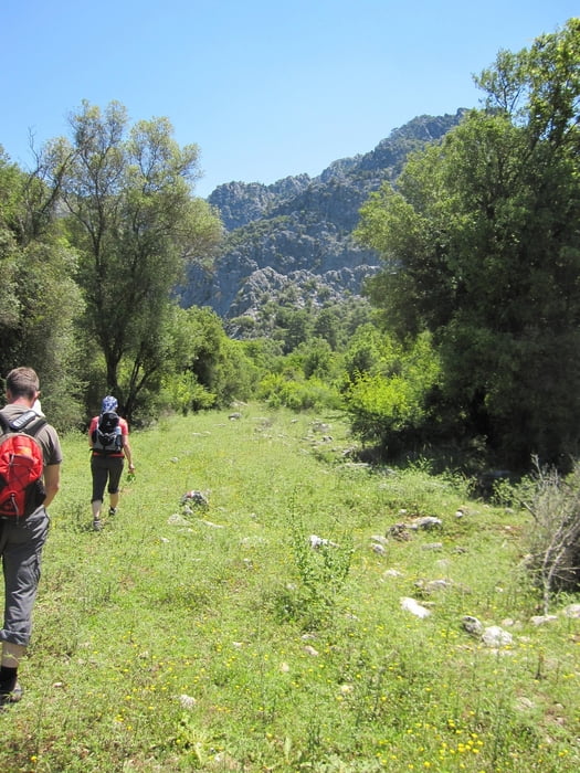
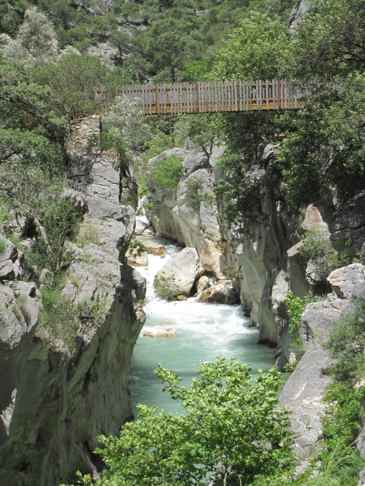
Eine Wanderung im Nirgendwo.
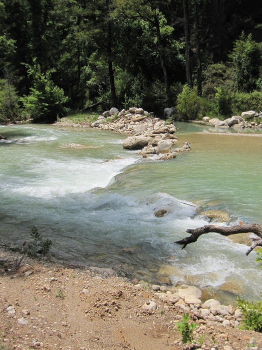
Startpunkt ist an der Forellenzucht - der Weg folgt einer rot-weißen Markierung, die aber eher einer Schnitzeljagd gleicht. Bereits nach ein paar hundert Metern muss ein Gebirgsbach überquert werden, danach führt der Weg nach rechts durch ein Gatter.
galéria trás
Mapa trasy a výškový profil
Minimum height 99999 m
Maximum height -99999 m
komentáre

GPS trasy
Trackpoints-
GPX / Garmin Map Source (gpx) download
-
TCX / Garmin Training Center® (tcx) download
-
CRS / Garmin Training Center® (crs) download
-
Google Earth (kml) download
-
G7ToWin (g7t) download
-
TTQV (trk) download
-
Overlay (ovl) download
-
Fugawi (txt) download
-
Kompass (DAV) Track (tk) download
-
list trasy (pdf) download
-
Original file of the author (gpx) download
Add to my favorites
Remove from my favorites
Edit tags
Open track
My score
Rate


