Login

Zabudli ste prihlasovacia meno

Cookies have to be accepted!
Your browser's cookie functionality is disabled. Please enable this functionality.

Not a member yet?

Register now
Login

Available for registred users only

Log in to use this feature.

Zabudli ste prihlasovacia meno

Cookies have to be accepted!
Your browser's cookie functionality is disabled. Please enable this functionality.

Not a member yet?

Register now
Filter
Kategórie
Advanced filters
  • Dĺžka (km)
  • výškomer
Uložiť filter Reset filter

TrackRank

QRCode

Technical data

Dĺžka11,4 km výškomer344 m Way down366 m Doba00:00 h:m dátum19.06.2012
ohodnotenia Author Kraj pôžitok z túry kondícia technika

štatistika

797 náhľady ohodnotenia 24 Stiahnutia priemer
Rate
  • list trasy
  • príjazd
  • Stiahnutia
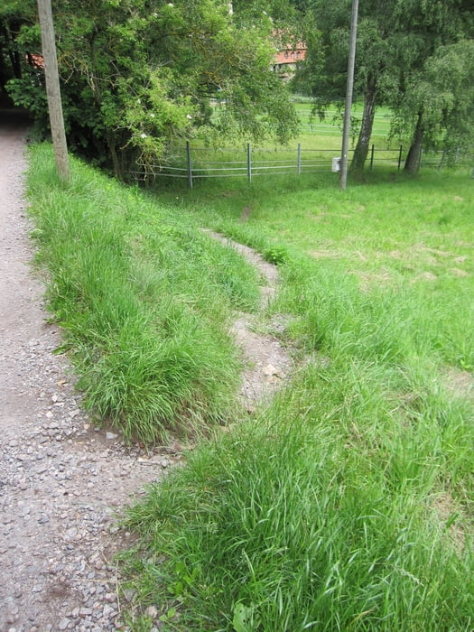
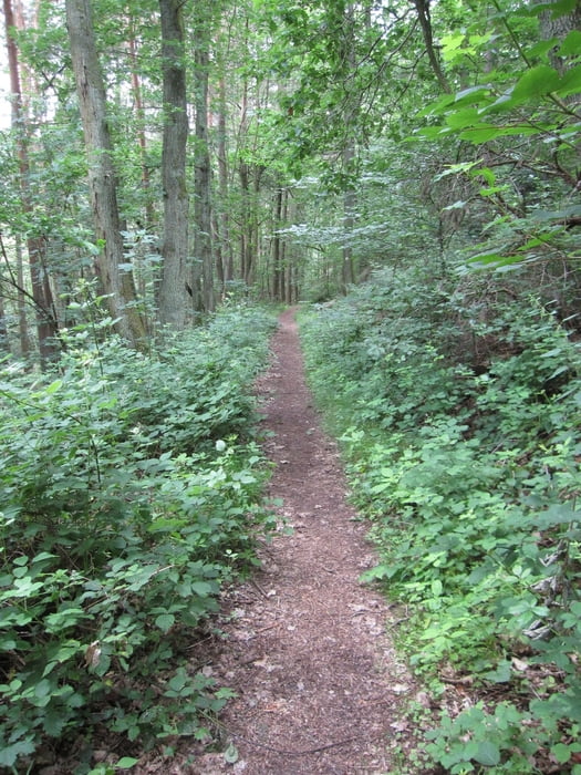
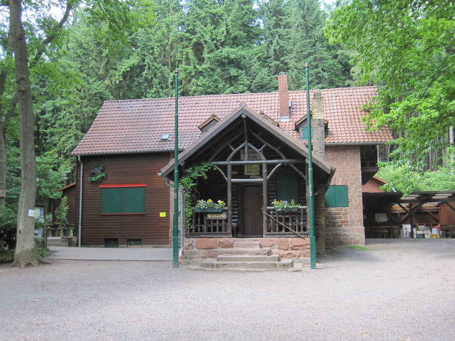
Die Wanderung führt von Gleisweiler aus entlang des Waldes nach St. Johann bevor sie auf schmalen Pfaden über das Naturfreundehaus die Landauerhütte erreicht. Diese ist meist nur am Wochenende bewirtschaftet.  Danach geht es gemütlich entlang des Hainbaches zurück nach Gleisweiler.

galéria trás

Mapa trasy a výškový profil

  • Open Street Map
  • Google
Minimum height 220 m Maximum height 480 m Detailný pohľad

More about the tour author

Radegundis
Member since 2009

Send private message

komentáre

Auf der A 65 Ausfahrt Landau Nord, B 10 nach Siebeldingen und von dort die Deutsche Weistraße nach Gleisweiler. Man kann entlang der Badstraße parken.

GPS trasy

Trackpoints
  • GPX / Garmin Map Source (gpx) download
  • TCX / Garmin Training Center® (tcx) download
  • CRS / Garmin Training Center® (crs) download
  • Google Earth (kml) download
  • G7ToWin (g7t) download
  • TTQV (trk) download
  • Overlay (ovl) download
  • Fugawi (txt) download
  • Kompass (DAV) Track (tk) download
  • list trasy (pdf) download
  • Original file of the author (gpx) download

More about the tour author

Radegundis
Member since 2009

Send private message
Share track
Add to my favorites
Remove from my favorites
Edit tags
My score
Rate
trasa: von Gleisweiler zur Landauerhütte
Druh: trasa
Dĺžka: 11,4 km
Evaluated on:
Doba:
Day(s)
Hour(s)
Minute(s)
ohodnotenie: Kraj pôžitok z túry kondícia technika