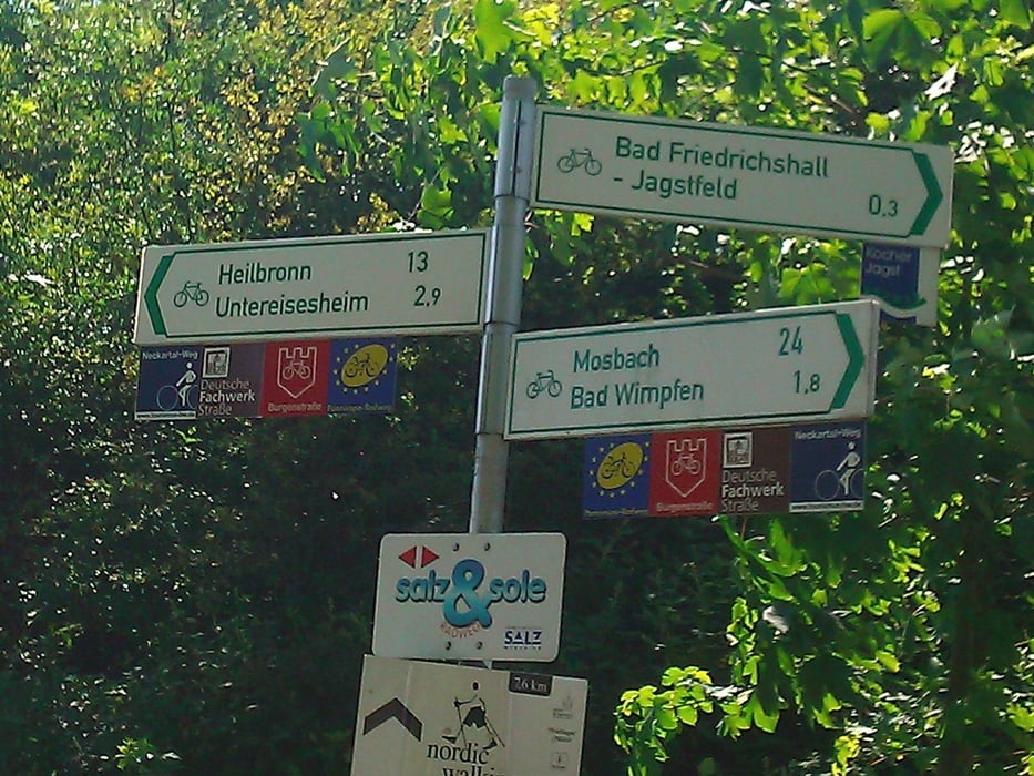
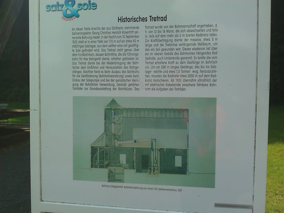
Bei der hier beschriebenen Route handelt es sich um einen Teil des Salz-und Sole-Radweges. Eigentlich wollte ich diesen am 17.06.12 in voller Länge abradeln, das Wetter machte mir allerdings einen Strich durch meine Planung. So verzichtete ich kurz vor Offenau auf die Weiterfahrt Richtung Gundelsheim und steuerte wieder meinen Startpunkt Bad Rappenau an. Über die landschaftlichen Reize der Gegend, den Zustand der Fahrradwege und die Anforderungen an Material und körperliche Kondition habe ich mich ja bereits an anderer Stelle ausgelassen. Ich kann den Salz- und Sole-Radweg jedem Radler empfehlen.
Further information at
http://www.radroutenplaner-bw.degaléria trás
Mapa trasy a výškový profil
Minimum height 141 m
Maximum height 246 m
komentáre

Autobahn A 6 Richtung Heilbronn bis Abfahrt Bad Rappenau, dann Richtung Kurzentrum/Kurpark. Alternative Anreise per Bahn bis Bad Rappenau Hbf, von dort sind es nur ca. 1,3 km bis zum Kurpark. Dort beginnt auch die Beschilderung des Radweges.
GPS trasy
Trackpoints-
GPX / Garmin Map Source (gpx) download
-
TCX / Garmin Training Center® (tcx) download
-
CRS / Garmin Training Center® (crs) download
-
Google Earth (kml) download
-
G7ToWin (g7t) download
-
TTQV (trk) download
-
Overlay (ovl) download
-
Fugawi (txt) download
-
Kompass (DAV) Track (tk) download
-
list trasy (pdf) download
-
Original file of the author (gpx) download
Add to my favorites
Remove from my favorites
Edit tags
Open track
My score
Rate


