Login

Zabudli ste prihlasovacia meno

Cookies have to be accepted!
Your browser's cookie functionality is disabled. Please enable this functionality.

Not a member yet?

Register now
Login

Available for registred users only

Log in to use this feature.

Zabudli ste prihlasovacia meno

Cookies have to be accepted!
Your browser's cookie functionality is disabled. Please enable this functionality.

Not a member yet?

Register now
Filter
Kategórie
Advanced filters
  • Dĺžka (km)
  • výškomer
Uložiť filter Reset filter

TrackRank

QRCode

Technical data

Dĺžka17,7 km výškomer448 m Way down448 m Doba01:20 h:m dátum01.07.2012
ohodnotenia Author User Kraj pôžitok z túry kondícia technika

štatistika

259 náhľady 1 ohodnotenie 38 Stiahnutia 4.00 priemer
Rate
  • list trasy
  • príjazd
  • Stiahnutia

Notwendige Änderungen in der Streckenführung - wird in zeitnah aktualisiert!

Start und Ziel: "Zum Musikalischen Wirt" - Parkplatz und gutes Essen vorhanden.

Eine Strecke nach der Arbeit "klein aber fein"

DIe Strecke ist nur "links herum" zu befahren - sonst tragen!

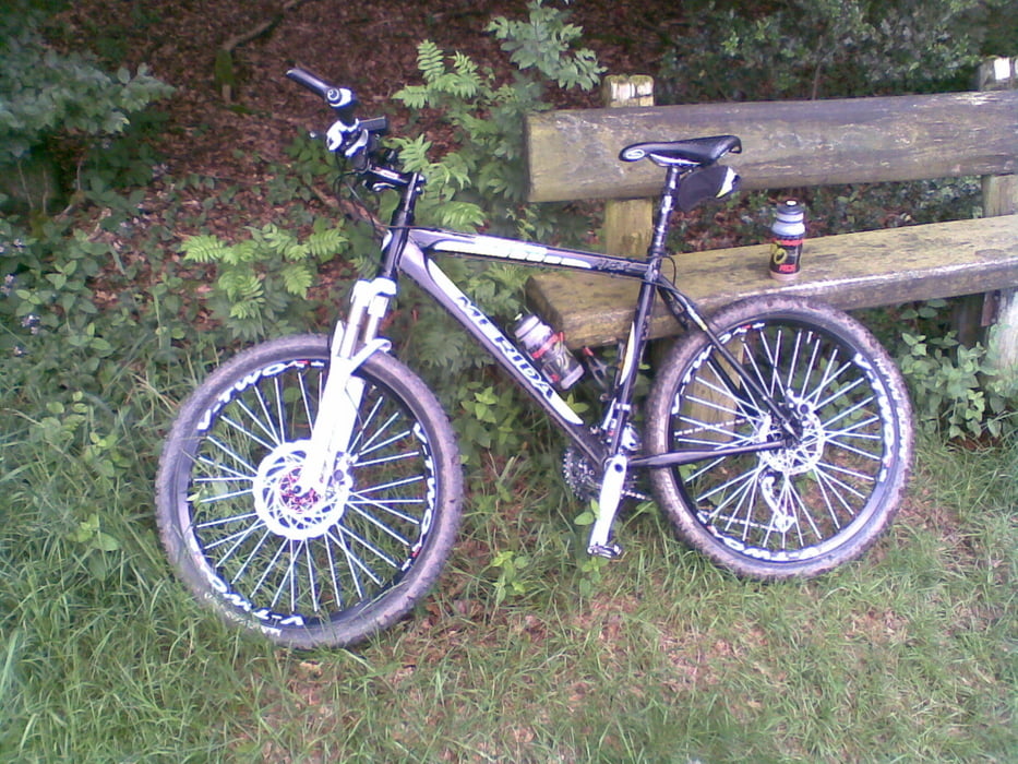
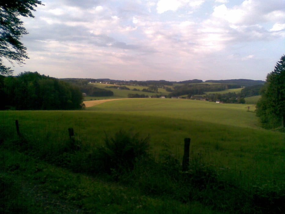
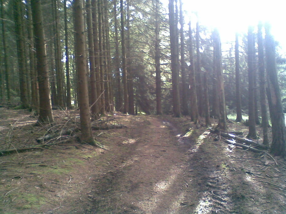
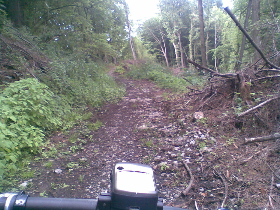
Die Strecke ist nach GPS-Garmin ca. 18km lang und hat ca. 480 Höhenmeter bei einer maximalen Steigung von 18% (durchschnittlich 5%) Die reine Fahrzeit beträgt je nach Kondition zwischen 1h20min und 2 Stunden. Die Strecke besteht aus Feld- und Waldwegen, kurze Straßenabschnitte, sowie "quer durch den Busch" und ist trotzdem bei jedem Wetter befahrbar. Landschaftlich super und es kommt keine Langeweile auf - Viel Spaß!

Further information at

http://www.hotel-tix.de/anfahrt.html

galéria trás

Mapa trasy a výškový profil

  • Open Street Map
  • Google
Minimum height 191 m Maximum height 316 m Detailný pohľad

More about the tour author

JOBOGPS
Member since 2011

Send private message

komentáre


Start und Ziel:

Zum Musikalischen Wirt
Sülztalstraße 45, 51789 Lindlar-Hartegasse
Tel.: +49 2266/83307

http://www.‎hotel-tix.de

GPS trasy

Trackpoints
  • GPX / Garmin Map Source (gpx) download
  • TCX / Garmin Training Center® (tcx) download
  • CRS / Garmin Training Center® (crs) download
  • Google Earth (kml) download
  • G7ToWin (g7t) download
  • TTQV (trk) download
  • Overlay (ovl) download
  • Fugawi (txt) download
  • Kompass (DAV) Track (tk) download
  • list trasy (pdf) download
  • Original file of the author (gpx) download

More about the tour author

JOBOGPS
Member since 2011

Send private message
Share track
Add to my favorites
Remove from my favorites
Edit tags
My score
Rate
trasa: Mountainbike nach der Arbeit "klein aber fein" 18km 480HM
Druh: horský bicykel
Dĺžka: 17,7 km
Evaluated on:
Doba:
Day(s)
Hour(s)
Minute(s)
ohodnotenie: Kraj pôžitok z túry kondícia technika