Login

Zabudli ste prihlasovacia meno

Cookies have to be accepted!
Your browser's cookie functionality is disabled. Please enable this functionality.

Not a member yet?

Register now
Login

Available for registred users only

Log in to use this feature.

Zabudli ste prihlasovacia meno

Cookies have to be accepted!
Your browser's cookie functionality is disabled. Please enable this functionality.

Not a member yet?

Register now
Filter
Kategórie
Advanced filters
  • Dĺžka (km)
  • výškomer
Uložiť filter Reset filter

TrackRank

QRCode

Technical data

Dĺžka33,0 km výškomer621 m Way down578 m Doba02:09 h:m dátum01.07.2012
ohodnotenia Author Kraj pôžitok z túry kondícia technika

štatistika

82 náhľady ohodnotenia 18 Stiahnutia priemer
Rate
  • list trasy
  • príjazd
  • Stiahnutia
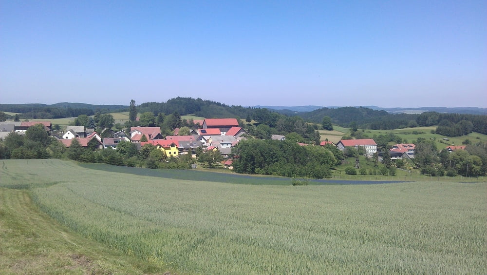
Kurz durchs Waldviertel. Bis zu 19 % Steigung, aber auch 21 % Gefälle

galéria trás

Mapa trasy a výškový profil

  • Open Street Map
  • Google
Minimum height 520 m Maximum height 720 m Detailný pohľad

More about the tour author

pentit
Member since 2012

Send private message

komentáre

GPS trasy

Trackpoints
  • GPX / Garmin Map Source (gpx) download
  • TCX / Garmin Training Center® (tcx) download
  • CRS / Garmin Training Center® (crs) download
  • Google Earth (kml) download
  • G7ToWin (g7t) download
  • TTQV (trk) download
  • Overlay (ovl) download
  • Fugawi (txt) download
  • Kompass (DAV) Track (tk) download
  • list trasy (pdf) download
  • Original file of the author (gpx) download

More about the tour author

pentit
Member since 2012

Send private message
Share track
Add to my favorites
Remove from my favorites
Edit tags
My score
Rate
trasa: Kurze Waldviertelrunde
Druh: horský bicykel
Dĺžka: 33,0 km
Evaluated on:
Doba:
Day(s)
Hour(s)
Minute(s)
ohodnotenie: Kraj pôžitok z túry kondícia technika