


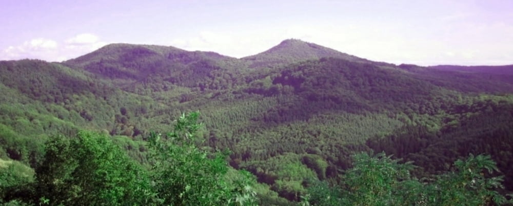
Rundwanderung im Siebengebirge auf Waldpfaden ein wenig abseits vom Rheinstieg. Schöne Ausblicke in das Rheintal, auf das Siebengebirge, schöne Lichtungen.
Gastronomie auf der Margarethenhöhe
galéria trás
Mapa trasy a výškový profil
Minimum height 190 m
Maximum height 421 m
More about the tour author

|
Camminatore |
komentáre

Auf A3
* Bei Ausfahrt 33-Siebengebirge Richtung Königswinter fahren
* Den Kreiverkehr passieren auf Königswinterer Straße/L331
* Nach ca. 3km links abbiegen auf Löwenburger Straße/Lahrring bis Parkplatz
Über A59
* Auf B42 bis Ausfahrt Richtung Königswinter/Oberpleis/Ittenbach
* Nach ca. 300m links abbiegen auf Ferdinand-Mülhens-Straße/L331
* Nach ca. 4,5 km rechts abbiegen auf Löwenburger Straße
* Bis Parkplatz auf Lahrring
GPS trasy
Trackpoints-
GPX / Garmin Map Source (gpx) download
-
TCX / Garmin Training Center® (tcx) download
-
CRS / Garmin Training Center® (crs) download
-
Google Earth (kml) download
-
G7ToWin (g7t) download
-
TTQV (trk) download
-
Overlay (ovl) download
-
Fugawi (txt) download
-
Kompass (DAV) Track (tk) download
-
list trasy (pdf) download
-
Original file of the author (gpx) download
More about the tour author
|
|
Camminatore |
Add to my favorites
Remove from my favorites
Edit tags
Open track
My score
Rate