


Start vom Weinheimer Schloßpark.
Durch den Exotenwald am Schwimmbad vorbei nach Buchklingen, dann den B1 bis zum Götzenstein.
Dann gelben Punkt folgen bis zur Straße zur Kreidacher Höhe.
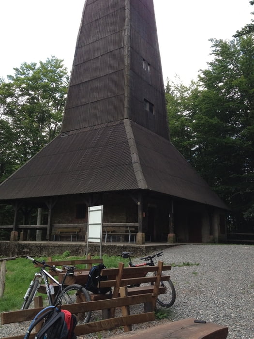
Von der Kreidacher Höher immer rotes Quadrat bis zum Ireneturm (Tromm).
Dann weißes Dreieck über Rimbach zur Juhöhe. Ab der Tromm kommt fahrtechnisch anspruchsvolles Stück.
Nach der Juhöhe roten Balken nehmen. Abfahrt nach Weinheim über den klassischen Downhill am Hirschkopf.
Durch den Exotenwald am Schwimmbad vorbei nach Buchklingen, dann den B1 bis zum Götzenstein.
Dann gelben Punkt folgen bis zur Straße zur Kreidacher Höhe.
Von der Kreidacher Höher immer rotes Quadrat bis zum Ireneturm (Tromm).
Dann weißes Dreieck über Rimbach zur Juhöhe. Ab der Tromm kommt fahrtechnisch anspruchsvolles Stück.
Nach der Juhöhe roten Balken nehmen. Abfahrt nach Weinheim über den klassischen Downhill am Hirschkopf.
galéria trás
Mapa trasy a výškový profil
Minimum height 297 m
Maximum height 779 m
More about the tour author

|
Rotwild-Ritter |
komentáre
Start im Schloßpark in Weinheim
GPS trasy
Trackpoints-
GPX / Garmin Map Source (gpx) download
-
TCX / Garmin Training Center® (tcx) download
-
CRS / Garmin Training Center® (crs) download
-
Google Earth (kml) download
-
G7ToWin (g7t) download
-
TTQV (trk) download
-
Overlay (ovl) download
-
Fugawi (txt) download
-
Kompass (DAV) Track (tk) download
-
list trasy (pdf) download
-
Original file of the author (gpx) download
More about the tour author
|
|
Rotwild-Ritter |
Add to my favorites
Remove from my favorites
Edit tags
Open track
My score
Rate
Tour #104085: Weinheim-Tromm-Juhöhe-Weinheim
Landschaftlich tolle Tour mit tollen Weitblicken.
Empfehlenswert
Lohnt sich