

Nevada State Park, lots of information can be found on the internet.
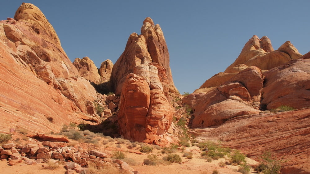
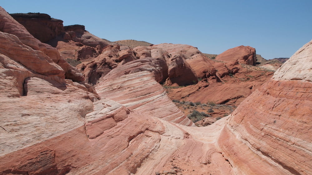
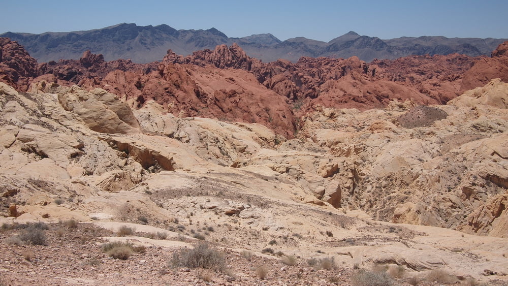
The visit to the Nevada State Park was done in 3 parts: Highway,White Domes Road, Hiking North of East Entrance.White Domes trail 1.5 miles, Fire Wave trail 1.5 miles, Mouse Tank.
The visit to the Nevada State Park was done in 3 parts: Highway,White Domes Road, Hiking North of East Entrance.White Domes trail 1.5 miles, Fire Wave trail 1.5 miles, Mouse Tank.
galéria trás


Mapa trasy a výškový profil
Minimum height 451 m
Maximum height 663 m
More about the tour author

|
willydn |
komentáre

Valley of Fire East Entrance
Coming from Mesquite we choose for the East entrance.
The East Entrance to the Valley of Fire State Park is located off State Route 169, 8 miles south of the town of Overton and 1/4 mile north of Overton Beach Marina.
Go through Moapa Valley, take Exit #93 off Interstate 15 and head south on 169/Moapa Valley Blvd.
You will pass through the towns of Logandale and Overton in Moapa Valley.
Approximately 8 miles after leaving Overton you will come to the Entrance Road to the Valley of Fire on your right.
GPS trasy
Trackpoints-
GPX / Garmin Map Source (gpx) download
-
TCX / Garmin Training Center® (tcx) download
-
CRS / Garmin Training Center® (crs) download
-
Google Earth (kml) download
-
G7ToWin (g7t) download
-
TTQV (trk) download
-
Overlay (ovl) download
-
Fugawi (txt) download
-
Kompass (DAV) Track (tk) download
-
list trasy (pdf) download
-
Original file of the author (gpx) download
More about the tour author
|
|
willydn |
Add to my favorites
Remove from my favorites
Edit tags
Open track
My score
Rate