Login

Zabudli ste prihlasovacia meno

Cookies have to be accepted!
Your browser's cookie functionality is disabled. Please enable this functionality.

Not a member yet?

Register now
Login

Available for registred users only

Log in to use this feature.

Zabudli ste prihlasovacia meno

Cookies have to be accepted!
Your browser's cookie functionality is disabled. Please enable this functionality.

Not a member yet?

Register now
Filter
Kategórie
Advanced filters
  • Dĺžka (km)
  • výškomer
Uložiť filter Reset filter

TrackRank

QRCode

Technical data

Dĺžka32,3 km výškomer691 m Way down657 m Doba02:00 h:m dátum15.07.2012
ohodnotenia Author User Kraj pôžitok z túry kondícia technika

štatistika

485 náhľady 1 ohodnotenie 67 Stiahnutia 4.00 priemer
Rate
  • list trasy
  • príjazd
  • Stiahnutia

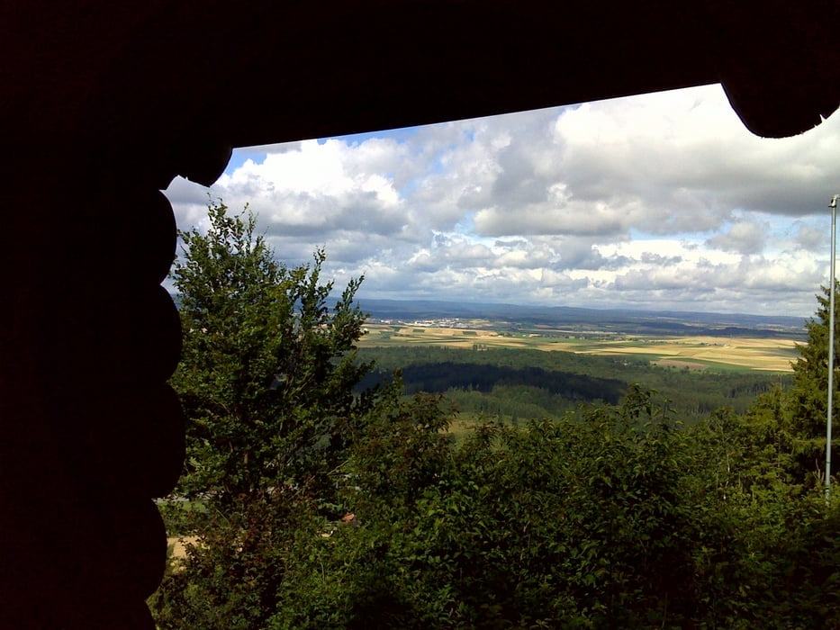
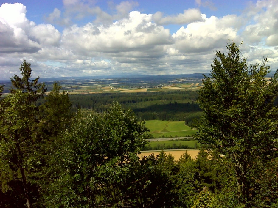
Eine Genußtour im Bereich Blatthalde, Öfingen.

Wir sind in Oberbaldingen gestarte, entlang der A81 dann zur Blatthalde (schöner Aussichtspunkt)

weiter über den sog. Wankel-Weg zur Hubertus Hütte, dann Richtung Talhof bzw. Klosterhof und Abnstieg über den Osterberg, weiter nach Öfingen durchs Feriendorf und eine schöne Single-Trailabfahrt nach Sunthausen. (bitte nur bei schönem und trockenem Wetter befahren)

galéria trás

Mapa trasy a výškový profil

  • Open Street Map
  • Google
Minimum height 659 m Maximum height 927 m Detailný pohľad

More about the tour author

jwenzler
Member since 2012

Send private message

komentáre

GPS trasy

Trackpoints
  • GPX / Garmin Map Source (gpx) download
  • TCX / Garmin Training Center® (tcx) download
  • CRS / Garmin Training Center® (crs) download
  • Google Earth (kml) download
  • G7ToWin (g7t) download
  • TTQV (trk) download
  • Overlay (ovl) download
  • Fugawi (txt) download
  • Kompass (DAV) Track (tk) download
  • list trasy (pdf) download
  • Original file of the author (gpx) download

More about the tour author

jwenzler
Member since 2012

Send private message
Share track
Add to my favorites
Remove from my favorites
Edit tags
My score
Rate
trasa: Genußtour mit Trails
Druh: horský bicykel
Dĺžka: 32,3 km
Evaluated on:
Doba:
Day(s)
Hour(s)
Minute(s)
ohodnotenie: Kraj pôžitok z túry kondícia technika