Login

Zabudli ste prihlasovacia meno

Cookies have to be accepted!
Your browser's cookie functionality is disabled. Please enable this functionality.

Not a member yet?

Register now
Login

Available for registred users only

Log in to use this feature.

Zabudli ste prihlasovacia meno

Cookies have to be accepted!
Your browser's cookie functionality is disabled. Please enable this functionality.

Not a member yet?

Register now
Filter
Kategórie
Advanced filters
  • Dĺžka (km)
  • výškomer
Uložiť filter Reset filter

TrackRank

QRCode

Technical data

Dĺžka19,4 km výškomer1051 m Way down1048 m Doba02:30 h:m dátum21.07.2012
ohodnotenia Author Kraj pôžitok z túry kondícia technika

štatistika

520 náhľady 1 ohodnotenie 134 Stiahnutia 2.00 priemer
Rate
  • list trasy
  • príjazd
  • Stiahnutia

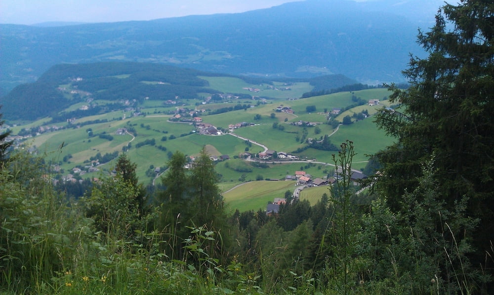
Angenehme Tour. Wir sind auf der Seiser Alm gestartet, Start an der Talstation der Umlaufbahn selbstverständlich ebenfalls problemlos möglich.

Sehr schöne Tour ohne besondere Schwierigkeiten. Diverse Einkehmöglichkeitern wie z.B. Marinzenhütte oder auch in Compatsch vorhanden.


Aufwärts geht es mit der Umlaufbahn, Preis: 9,50 EUR

Mapa trasy a výškový profil

  • Open Street Map
  • Google
Minimum height 986 m Maximum height 1865 m Detailný pohľad

More about the tour author

mareb1972
Member since 2009

Send private message

komentáre

Compatsch auf der Seiser Alm oder Parkplatz Talstation Umlaufbahn in Seis

GPS trasy

Trackpoints
  • GPX / Garmin Map Source (gpx) download
  • TCX / Garmin Training Center® (tcx) download
  • CRS / Garmin Training Center® (crs) download
  • Google Earth (kml) download
  • G7ToWin (g7t) download
  • TTQV (trk) download
  • Overlay (ovl) download
  • Fugawi (txt) download
  • Kompass (DAV) Track (tk) download
  • list trasy (pdf) download
  • Original file of the author (gpx) download

More about the tour author

mareb1972
Member since 2009

Send private message
Share track
Add to my favorites
Remove from my favorites
Edit tags
My score
Rate
trasa: Seis - Seiser Alm - Seis
Druh: horský bicykel
Dĺžka: 19,4 km
Evaluated on:
Doba:
Day(s)
Hour(s)
Minute(s)
ohodnotenie: Kraj pôžitok z túry kondícia technika