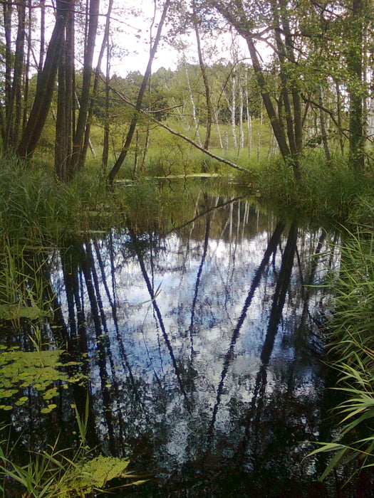
- Eine schöne Wandertour entlang verschiedener Seen, auf Waldwegen und alten Kopfsteinpflasterstraßen. Kulturelle Höhepunkte sind das Kloster Chorin und die Kroneneiche mit Weberdenkmal.
Further information at
http://books.google.de/books?id=kmI-zEQ0svIC&pg=PA33&lpg=PA33&dq=wandern+von+britz+nach+chorin&source=bl&ots=gcUCOFzyxC&sig=uUN-Ji9g_5so85hs6AjSIlcuxTA&hl=de&sa=X&ei=jAYLUNiRNM-P4gSFufCpCg&ved=0CE0Q6AEwAA#v=onepage&q=wandern%20von%20britz%20nach%20chorin&Mapa trasy a výškový profil
Minimum height -3 m
Maximum height 94 m
komentáre

Start ist der Bahnhof Britz und Zielpunkt der Bahnhof Chorin.
GPS trasy
Trackpoints-
GPX / Garmin Map Source (gpx) download
-
TCX / Garmin Training Center® (tcx) download
-
CRS / Garmin Training Center® (crs) download
-
Google Earth (kml) download
-
G7ToWin (g7t) download
-
TTQV (trk) download
-
Overlay (ovl) download
-
Fugawi (txt) download
-
Kompass (DAV) Track (tk) download
-
list trasy (pdf) download
-
Original file of the author (gpx) download
Add to my favorites
Remove from my favorites
Edit tags
Open track
My score
Rate


