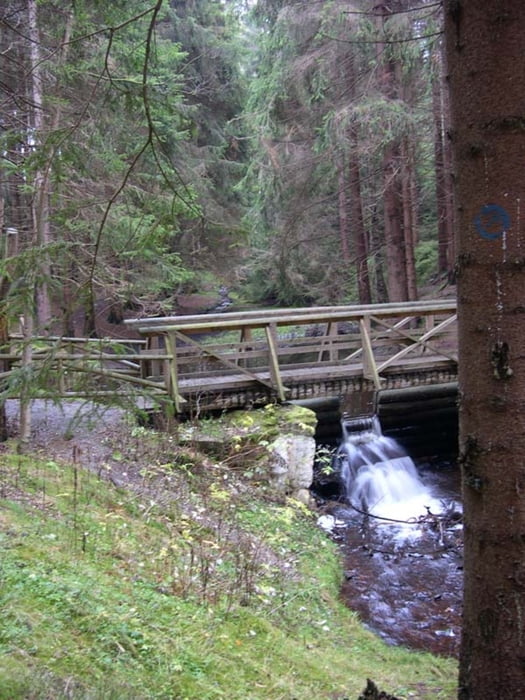
Minirunde Talsperre Falkenstein > Oberes Göltzschtal > Muldenberg > Frohnweg > Talsperre Falkenstein
Auch für Kinder geeignete kleine Mountainbikerunde, Lauf- oder Wanderstrecke von der Talsperre Falkenstein durch das Obere Göltzschtal.
Route: Talsperre Falkenstein > Oberes Göltzschtal > Muldenberg > Frohnweg > Talsperre Falkenstein
Beschreibung der Radrouten durch das Obere Göltzschtal um Grünbach, Muldenberg und Falkenstein in http://www.wolf-klepzig.de/hp/rad/OberesGoeltzschtal.pdf. Ausführliche Beschreibung einer ähnlichen Wanderroute in http://www.wolf-klepzig.de/hp/wandg/OberesGoeltzschtal-Muldenberg.pdf.
Weitere Informationen an den Wegpunkten (Parken, Gastronomie, Wanderzeichen/Loipennummern, Wegweiser, Besonderheiten).
Further information at
http://www.wolf-klepzig.de/hp/rad.htmMapa trasy a výškový profil
komentáre

Anfahrt und Parken:
B169 bis Falkenstein/Vogtland. Links abbiegen auf Am Markt/K7830, nach 140 m rechts abbiegen auf Amtsstraße/K7830. Nach 110 m links auf Hammerbrücker Str./K7830 zur Talsperre wechseln. Parken kostenfrei in der Nähe des Bleichweges, neben/nach Industriegebäude (eventuell voll in der Badesaisson) oder kostenpflichtig nach der Sperrmauer.
GPS trasy
Trackpoints-
GPX / Garmin Map Source (gpx) download
-
TCX / Garmin Training Center® (tcx) download
-
CRS / Garmin Training Center® (crs) download
-
Google Earth (kml) download
-
G7ToWin (g7t) download
-
TTQV (trk) download
-
Overlay (ovl) download
-
Fugawi (txt) download
-
Kompass (DAV) Track (tk) download
-
list trasy (pdf) download
-
Original file of the author (gpx) download


