


Route:
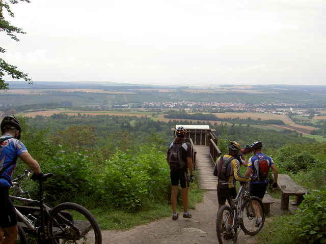
Illingen, Parkplatz zwischen Burgberg und Eselsburg, Gündelbach, Salzeiche, Häfnerhaslach, Schlierkopf, Rittersprung (ein letztes Mal für mich) Sternenfels, Eppinger Linienweg, (Scheuelberg, Maulbronn, Maubronn West, Ötisheim, Mühlacker?), oder direkt nach Schmie, Sauberg, Mühlacker.
Illingen, Parkplatz zwischen Burgberg und Eselsburg, Gündelbach, Salzeiche, Häfnerhaslach, Schlierkopf, Rittersprung (ein letztes Mal für mich) Sternenfels, Eppinger Linienweg, (Scheuelberg, Maulbronn, Maubronn West, Ötisheim, Mühlacker?), oder direkt nach Schmie, Sauberg, Mühlacker.
Further information at
http://www.biketreff-niefern.degaléria trás
Mapa trasy a výškový profil
Minimum height 219 m
Maximum height 452 m
More about the tour author

|
winklem |
komentáre

Start in Niefern an der Enz Apotheke oder Mühlacker Hallenbad.
Mehr Infos unter http://www.biketreff-niefern.de
Mehr Infos unter http://www.biketreff-niefern.de
GPS trasy
Trackpoints-
GPX / Garmin Map Source (gpx) download
-
TCX / Garmin Training Center® (tcx) download
-
CRS / Garmin Training Center® (crs) download
-
Google Earth (kml) download
-
G7ToWin (g7t) download
-
TTQV (trk) download
-
Overlay (ovl) download
-
Fugawi (txt) download
-
Kompass (DAV) Track (tk) download
-
list trasy (pdf) download
-
Original file of the author (g7t) download
More about the tour author
|
|
winklem |
Add to my favorites
Remove from my favorites
Edit tags
Open track
My score
Rate