


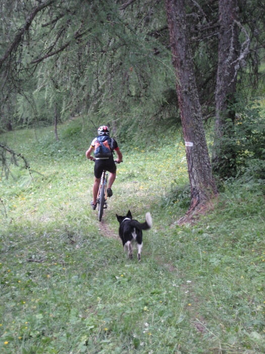
vom Campingplatz Freissinières ziemlich bequem erst auf Straße dann auf Forstweg bis Cabane de Tramouillon. Danach heißt es weitgehend schieben bis Col der Tramouillon. Danach ist die Abfahrt auch erst mäßig, mit Schiebestrecken, dann geht es wieder ein wenig bergauf. Erst dann kommt die richtig geniale Abfahrt mit endlosen Kehren im Singletrail durch den Wald. Keine Blöcke, kein Schotter. An einer Abweigung kann man dem bezeichneten Weg steil nach Freissinières folgen. Unsere Variante hier benutzt einen Singletrail, der wohl nur von Mountainbikern benutzt wird (keine Beschilderung).
galéria trás
Mapa trasy a výškový profil
Minimum height 1118 m
Maximum height 2288 m
More about the tour author

|
Steinert |
komentáre

Start dierekt am Campingplatz Freissinières am Ortseingang.
GPS trasy
Trackpoints-
GPX / Garmin Map Source (gpx) download
-
TCX / Garmin Training Center® (tcx) download
-
CRS / Garmin Training Center® (crs) download
-
Google Earth (kml) download
-
G7ToWin (g7t) download
-
TTQV (trk) download
-
Overlay (ovl) download
-
Fugawi (txt) download
-
Kompass (DAV) Track (tk) download
-
list trasy (pdf) download
-
Original file of the author (gpx) download
More about the tour author
|
|
Steinert |
Add to my favorites
Remove from my favorites
Edit tags
Open track
My score
Rate