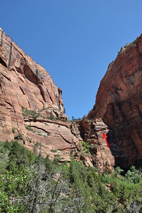
Der Weg führt ziemlich steil auf den Berg hinauf. Auf dem letzten Stück muss ein Grat überquert werden, der z. T. mit Ketten gesichert ist. Nichts für Leute mit Höhenangst ;-)
Der Track ist nicht immer genau, da das GPS in den engen Schluchten ab und zu den Empfang verloren hatte.
Further information at
http://www.reiseenduro.de/carlo/reise/berichte/nordamerika/usa2012/bilder/utah/zion/usa12-zion05.phpgaléria trás
Mapa trasy a výškový profil
Minimum height 1308 m
Maximum height 1745 m
komentáre
GPS trasy
Trackpoints-
GPX / Garmin Map Source (gpx) download
-
TCX / Garmin Training Center® (tcx) download
-
CRS / Garmin Training Center® (crs) download
-
Google Earth (kml) download
-
G7ToWin (g7t) download
-
TTQV (trk) download
-
Overlay (ovl) download
-
Fugawi (txt) download
-
Kompass (DAV) Track (tk) download
-
list trasy (pdf) download
-
Original file of the author (gpx) download
Add to my favorites
Remove from my favorites
Edit tags
Open track
My score
Rate


Große Klasse
Wenn ich wieder in die Staaten komme muß ich da hin.
Viele Grüße
Peter