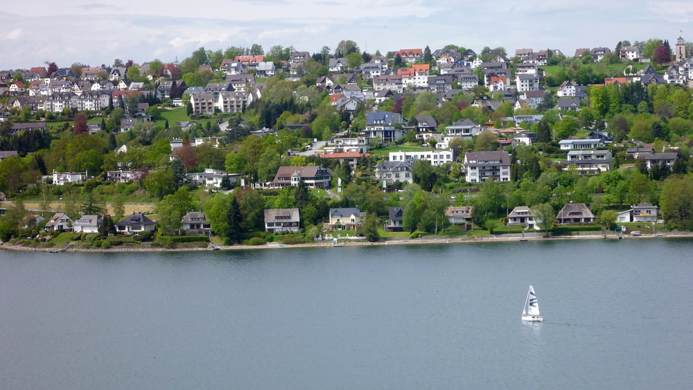
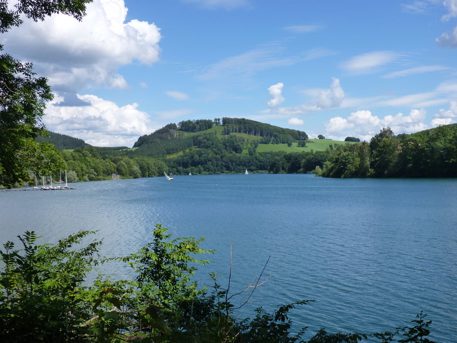
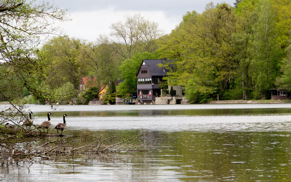
Die Runde führt von Neheim aus vorbei an den Stauseen Sorpesee, Hennesee und Möhnesee.
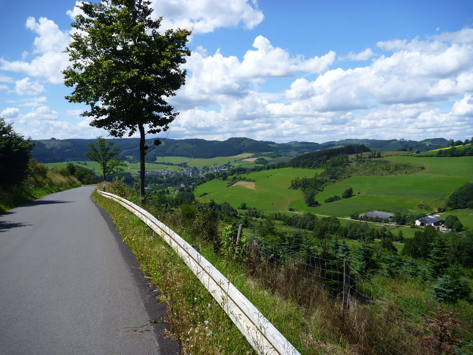
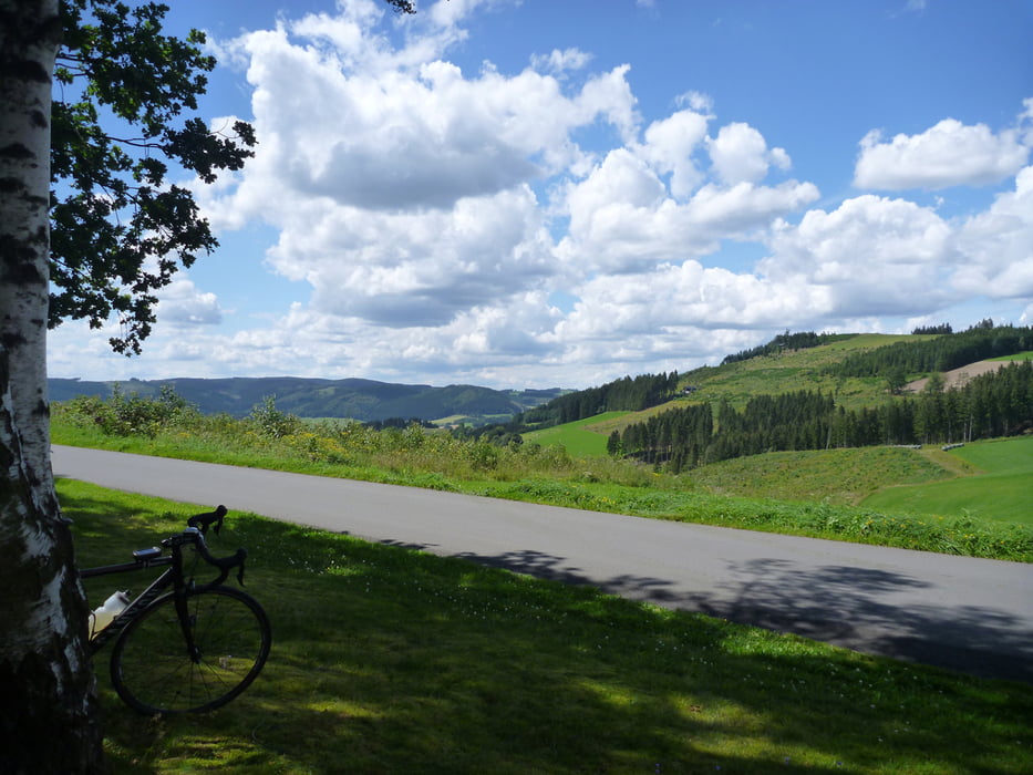
Unterwegs warten ein paar Sauerland-typische Anstiege, dafür aber auch schöne Abfahrten :-).
Start- und Zielpunkt ist das Rathaus in Arnsberg-Neheim.
Empfohlene Fahrtrichtung: gegen den Uhrzeigersinn
galéria trás
Mapa trasy a výškový profil
Minimum height 154 m
Maximum height 536 m
komentáre

Das Rathaus in Neheim liegt direkt an der Autobahnabfahrt (A445). I.d.R. sind ausreichend Parkplätze vorhanden.
Der Bahnhof Neheim-Hüsten liegt nur einen Steinwurf entfernt.
GPS trasy
Trackpoints-
GPX / Garmin Map Source (gpx) download
-
TCX / Garmin Training Center® (tcx) download
-
CRS / Garmin Training Center® (crs) download
-
Google Earth (kml) download
-
G7ToWin (g7t) download
-
TTQV (trk) download
-
Overlay (ovl) download
-
Fugawi (txt) download
-
Kompass (DAV) Track (tk) download
-
list trasy (pdf) download
-
Original file of the author (gpx) download
Add to my favorites
Remove from my favorites
Edit tags
Open track
My score
Rate

