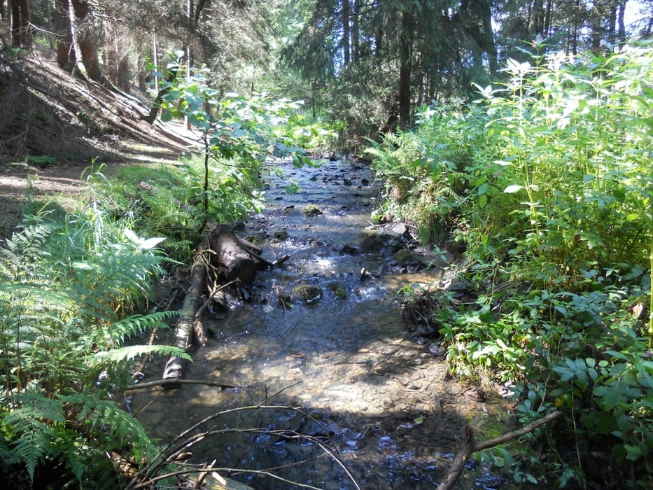
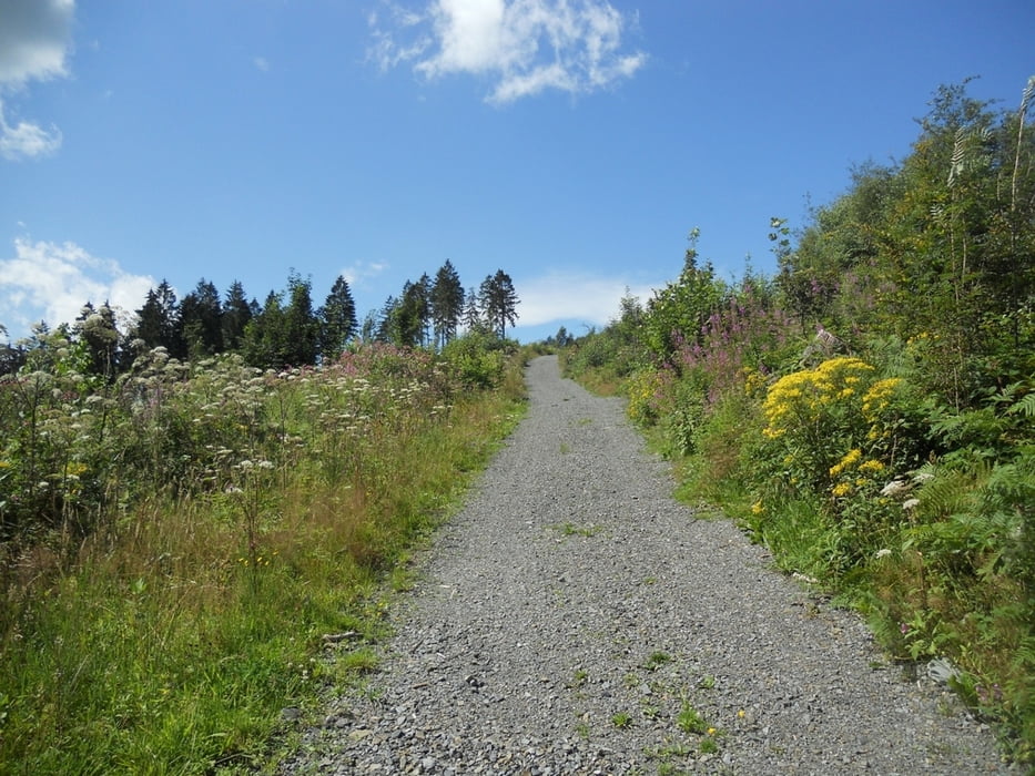
Ein Ausflug in die Nähe von ehemalige Munitionsdepot im Wildberg. Start und Ziel ist der Parkplatz direkt am Munitionsdepot Mohrenbacherstrasse K53. Der Weg führt durch einen wunderschönen Wald, unterwegs mehrere Panoramablicke, sehr einsame weg mit eine überaus abwechslungsreiche, gut ausgebaute Wanderstrecke. Eine erholsame Wanderung mit vielen schönen Aussichtspunkten!
galéria trás
Mapa trasy a výškový profil
Minimum height 312 m
Maximum height 447 m
komentáre

GPS trasy
Trackpoints-
GPX / Garmin Map Source (gpx) download
-
TCX / Garmin Training Center® (tcx) download
-
CRS / Garmin Training Center® (crs) download
-
Google Earth (kml) download
-
G7ToWin (g7t) download
-
TTQV (trk) download
-
Overlay (ovl) download
-
Fugawi (txt) download
-
Kompass (DAV) Track (tk) download
-
list trasy (pdf) download
-
Original file of the author (gpx) download
Add to my favorites
Remove from my favorites
Edit tags
Open track
My score
Rate


