Biasca - Cresciano - Tenero - LAGO MAGGIORE - Locarno - Orselina - Val Resa - Fontai - Capanna Stallone - Cardadda - Cardadda Statione
Von Bisaca get es gemütlich bergab auf Teer bis Cresciano. Ab hier gibt es einen schönen Weg durch den Wald am Fluss entlang. Der Weg ist unbefestigt und es geht merklich schwerer als auf stubidem Teer. Immer am Ticino entlang bis Tenero.
Schließlich ist es geschafft. Man hat den Lago erreicht!
An der Promenade entlang um ein schönes Plätzchen zu suchen und dann ab bei 35° ins Wasser.
Nun noch die letzten Meter nach Locarno. Das ist ein Triumpfzug für die Seele.
Da wir noch so gut wie keine Höhenmeter haben entschließen wir und nach Cardadda mit dem Rad zu fahren und nicht die Seilbahn von Orselina. In Locarno steigen die Strasse gleich hinter dem Bahnhof mächtig in Serpentine an. Leider hatten wir Probleme die Strasse nach Cardadda zu finden. 100m haben zu unserem Glück gefehlt!
Schließlich ging es über Val Resa auf Teer einige hundert Höhenmeter hinauf. Dort haben wir wieder einen Abzeig verpasst und sind den völlig unbefahrbaren Wanderweg nach Fontai gelaufen. Erst knapp vor Capanna Stallone war war wieder einigermassen akzeptable Piste.
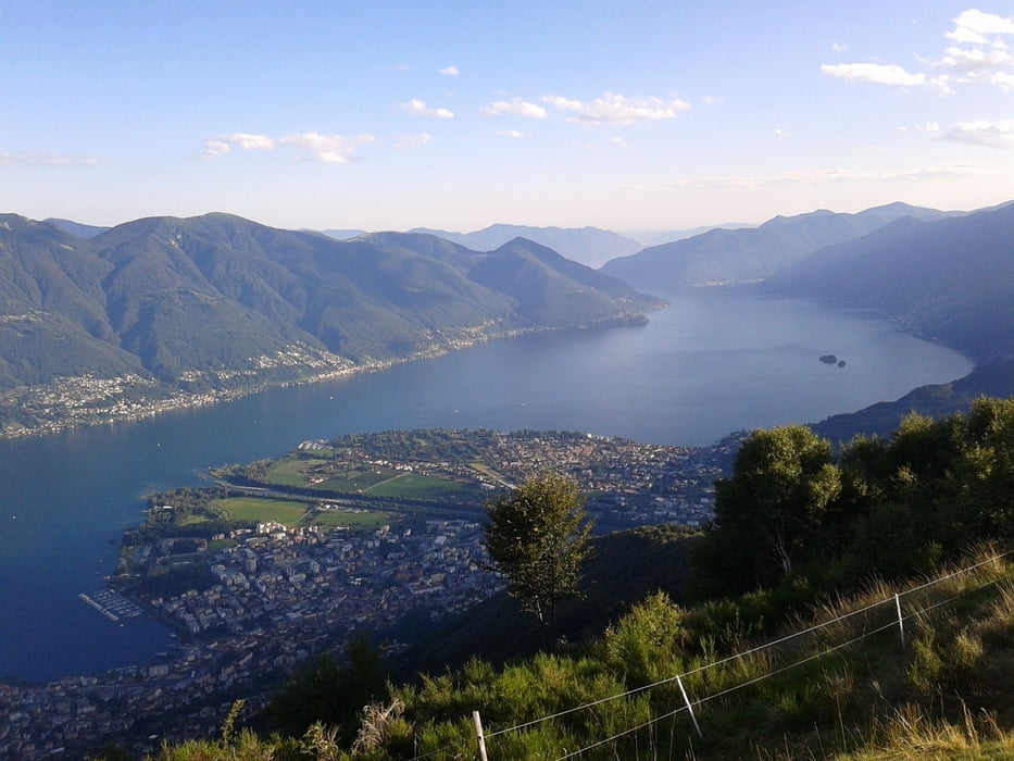
Dafür hat und er Blick von dort auf den See wieder entschädigt!
Further information at
http://de.wikipedia.org/wiki/Lago_Maggioregaléria trás
Mapa trasy a výškový profil
komentáre

GPS trasy
Trackpoints-
GPX / Garmin Map Source (gpx) download
-
TCX / Garmin Training Center® (tcx) download
-
CRS / Garmin Training Center® (crs) download
-
Google Earth (kml) download
-
G7ToWin (g7t) download
-
TTQV (trk) download
-
Overlay (ovl) download
-
Fugawi (txt) download
-
Kompass (DAV) Track (tk) download
-
list trasy (pdf) download
-
Original file of the author (gpx) download


