

Schöne Tour rund um die Kanisfluh
Start in Mellau an der Talstation der Seilbahn. Auf dem Bregenzerwaldradweg über Hirschau und Schnepfau nach Au. Kurz vor AU rechts, übe die Brücke über den Bach. Links vom Bach halten Richtung Passtraße nach Damüls. Auf dieser raufradeln bis zur Abzweigung Gasthof Edelweiß. Die vielen Motorradfahrer, die mit schleifendem Seitenständer vorbeifahren, ignorieren.
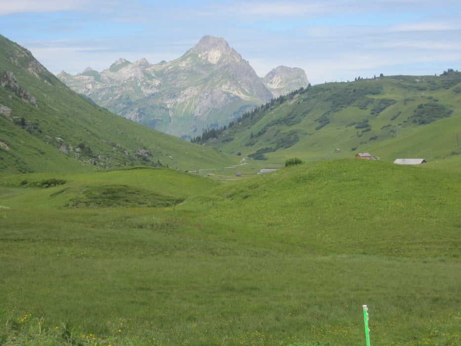
Vorbei am Gasthof Edelweiß bis zur Obere Alpe und Wurzachalpe zur KAnisalpe. Hier gibts mehrmals die Möglichkeit, nen ordentlichen Käse zu kaufen.
Vorbei an der Roßstellenalpe (Achtung: Hier ist häufig Seniorenausflug, also rücksichtsvoll fahren!) gehts wieder rauf zur Wildguntenalpe. Dann gehts bergab. Wer Hunger hat, kann kurz zur Hintersuttisalpe abzweigen, da gibts den besten Bergläs der Tour.
Runter zur Lindachalpe, noch mal ein kurzes saumäßig steiles Stück rauf auf den Weg durchs Mellental.
Auf dieser Rüttelpiste gehts dann wieder runter bis Mellau.
Further information at
http://www.mellau.at/galéria trás


Mapa trasy a výškový profil
Minimum height 684 m
Maximum height 1641 m
More about the tour author
|
|
Wayneschlegell |
komentáre

Mit dem Auto bis zum Parkplatz der Seilbahn
GPS trasy
Trackpoints-
GPX / Garmin Map Source (gpx) download
-
TCX / Garmin Training Center® (tcx) download
-
CRS / Garmin Training Center® (crs) download
-
Google Earth (kml) download
-
G7ToWin (g7t) download
-
TTQV (trk) download
-
Overlay (ovl) download
-
Fugawi (txt) download
-
Kompass (DAV) Track (tk) download
-
list trasy (pdf) download
-
Original file of the author (gpx) download
More about the tour author
|
|
Wayneschlegell |
Add to my favorites
Remove from my favorites
Edit tags
Open track
My score
Rate