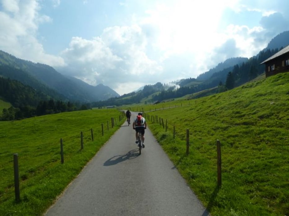
Tag 1: Lindau-Pfänder-Hirschberg-Langen-Hittisau meist Straße mit kurzem Trail vom Hirschberg.
Tag 2: Hittisau - Scheidwangalpe - Hirschgundalpe - Schiebe- und Tragestrecke zur Oberen Wilhelmine Alpe - Hölleritz Alpe - Gunzesried.
Tag 3: Gunzesried - Immenstadt - steiler Anstieg zur Mittelberg Alpe - kurzer Trail bis zur Weissach - Steibis - Röthenbach.
Zurück nach Lindau mit der Bahn. Alternativ kann man auch auf dem Bodensee - Knönigsee Radweg nach Lindau zürückfahren.
galéria trás
Mapa trasy a výškový profil
Minimum height 391 m
Maximum height 1539 m
komentáre

Start Lidau Hauptbahnhof
GPS trasy
Trackpoints-
GPX / Garmin Map Source (gpx) download
-
TCX / Garmin Training Center® (tcx) download
-
CRS / Garmin Training Center® (crs) download
-
Google Earth (kml) download
-
G7ToWin (g7t) download
-
TTQV (trk) download
-
Overlay (ovl) download
-
Fugawi (txt) download
-
Kompass (DAV) Track (tk) download
-
list trasy (pdf) download
-
Original file of the author (gpx) download
Add to my favorites
Remove from my favorites
Edit tags
Open track
My score
Rate


