Login

Zabudli ste prihlasovacia meno

Cookies have to be accepted!
Your browser's cookie functionality is disabled. Please enable this functionality.

Not a member yet?

Register now
Login

Available for registred users only

Log in to use this feature.

Zabudli ste prihlasovacia meno

Cookies have to be accepted!
Your browser's cookie functionality is disabled. Please enable this functionality.

Not a member yet?

Register now
Filter
Kategórie
Advanced filters
  • Dĺžka (km)
  • výškomer
Uložiť filter Reset filter

TrackRank

QRCode

Technical data

Dĺžka29,3 km výškomer384 m Way down374 m Doba02:30 h:m dátum13.08.2012
ohodnotenia Author Kraj pôžitok z túry kondícia technika

štatistika

566 náhľady ohodnotenia 30 Stiahnutia priemer
Rate
  • list trasy
  • príjazd
  • Stiahnutia

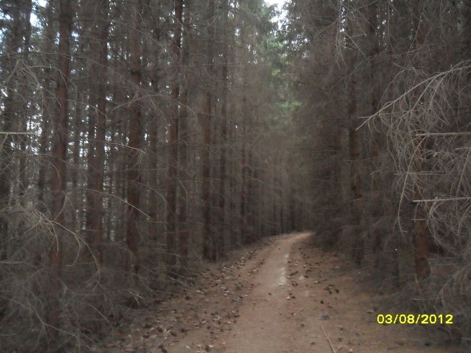
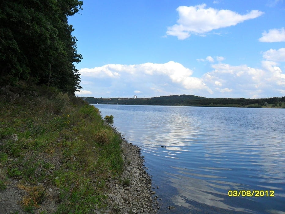
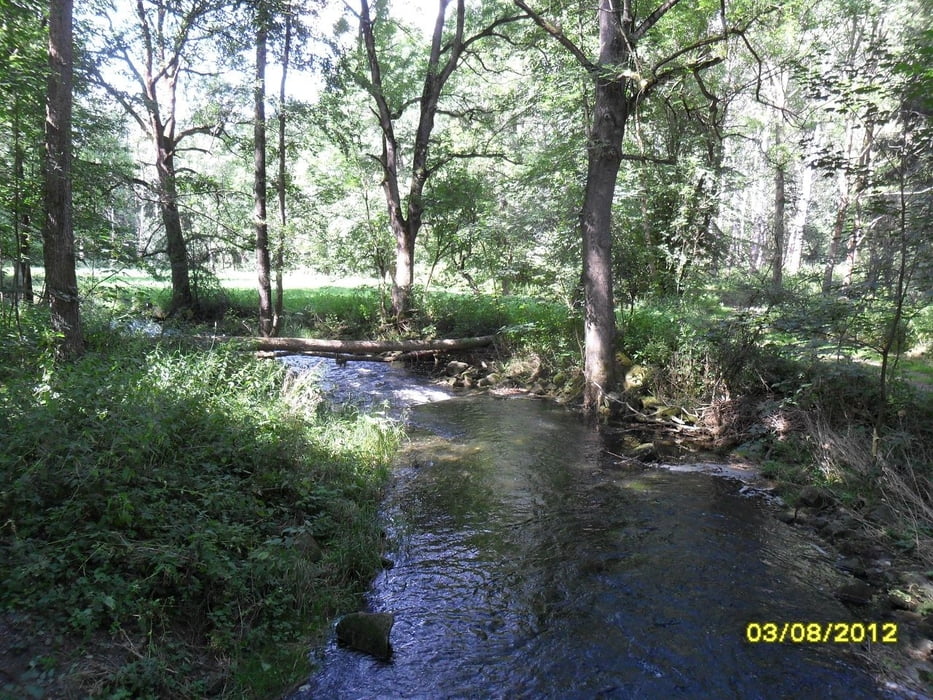
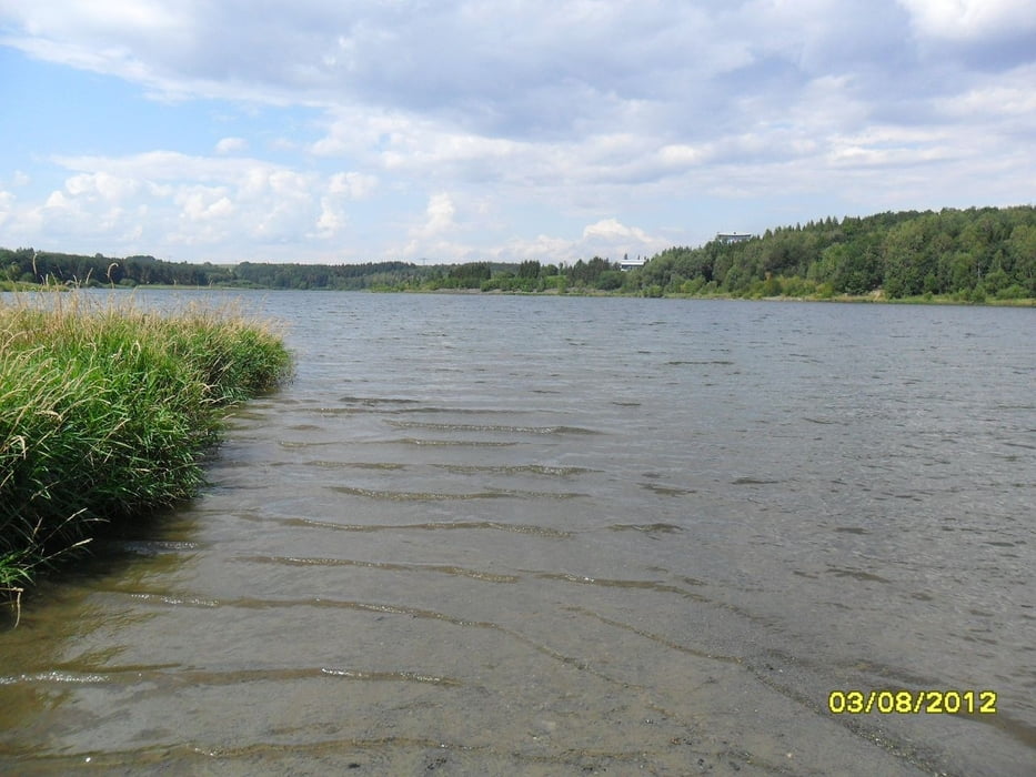
Entlang den Wanderwegen rund um die Talsperre.

Die Wege sind teilweise eng und steil.

Die Tour führt ständig auf und ab.

Zwischendurch ibt es auch ruhige Abschitte.

galéria trás

Mapa trasy a výškový profil

  • Open Street Map
  • Google
Minimum height 315 m Maximum height 447 m Detailný pohľad

More about the tour author

drzahnweh
Member since 2011

Send private message

komentáre

direkt an der Staumauer gibt es Parkmöglichkeiten für das Auto.

GPS trasy

Trackpoints
  • GPX / Garmin Map Source (gpx) download
  • TCX / Garmin Training Center® (tcx) download
  • CRS / Garmin Training Center® (crs) download
  • Google Earth (kml) download
  • G7ToWin (g7t) download
  • TTQV (trk) download
  • Overlay (ovl) download
  • Fugawi (txt) download
  • Kompass (DAV) Track (tk) download
  • list trasy (pdf) download
  • Original file of the author (gpx) download

More about the tour author

drzahnweh
Member since 2011

Send private message
Share track
Add to my favorites
Remove from my favorites
Edit tags
My score
Rate
trasa: Um die Talsperre Zeulenroda
Druh: horský bicykel
Dĺžka: 29,3 km
Evaluated on:
Doba:
Day(s)
Hour(s)
Minute(s)
ohodnotenie: Kraj pôžitok z túry kondícia technika