


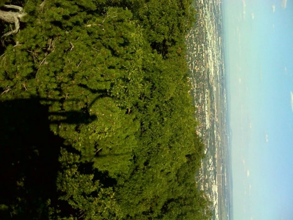
Interessante und lohnende Runde im südlichen Wienerwald!
Diese Tour habe ich beim Nikolaitor in der Nähe der U-Bahnstation Hütteldorf begonnen. Von hier ging es entlang der ausgeschriebenen MTB-Tour Lainzer Tiergarten-Strecke. In der Höhe vom Fasslberg bin ich ein kurzes Stück der Pappelteich-Strecke gefolgt. Ab Perchtoldsdorf bin ich die Parapluie-Strecke gefahren. Diese habe ich jedoch in Höhe des Lattermaiberg etwas vereinfacht, indem ich die obere Variante gewählt habe. In Kalksburg ging es dann entlang der Kaltenleutgeberstrecke wieder retour bis Laab im Walde und von dort wieder der Route Lainzer Tiergarten-Strecke zurück nach Hütteldorf.
Beim Laaber Tor habe ich die Route etwas abgekürzt, jedoch das ist definitiv nicht zum Empfehlen. Hier ist es gewiss besser, der Originalroute zu folgen!
galéria trás
Mapa trasy a výškový profil
Minimum height 219 m
Maximum height 623 m
More about the tour author

|
Maexchen144 |
komentáre

Von der U-Bahnstation über die große Fussgängerbrücke und dann den Schildern in Richtung Lainzer Tiergarten folgen! Also ganz einfach!
GPS trasy
Trackpoints-
GPX / Garmin Map Source (gpx) download
-
TCX / Garmin Training Center® (tcx) download
-
CRS / Garmin Training Center® (crs) download
-
Google Earth (kml) download
-
G7ToWin (g7t) download
-
TTQV (trk) download
-
Overlay (ovl) download
-
Fugawi (txt) download
-
Kompass (DAV) Track (tk) download
-
list trasy (pdf) download
-
Original file of the author (gpx) download
More about the tour author
|
|
Maexchen144 |
Add to my favorites
Remove from my favorites
Edit tags
Open track
My score
Rate