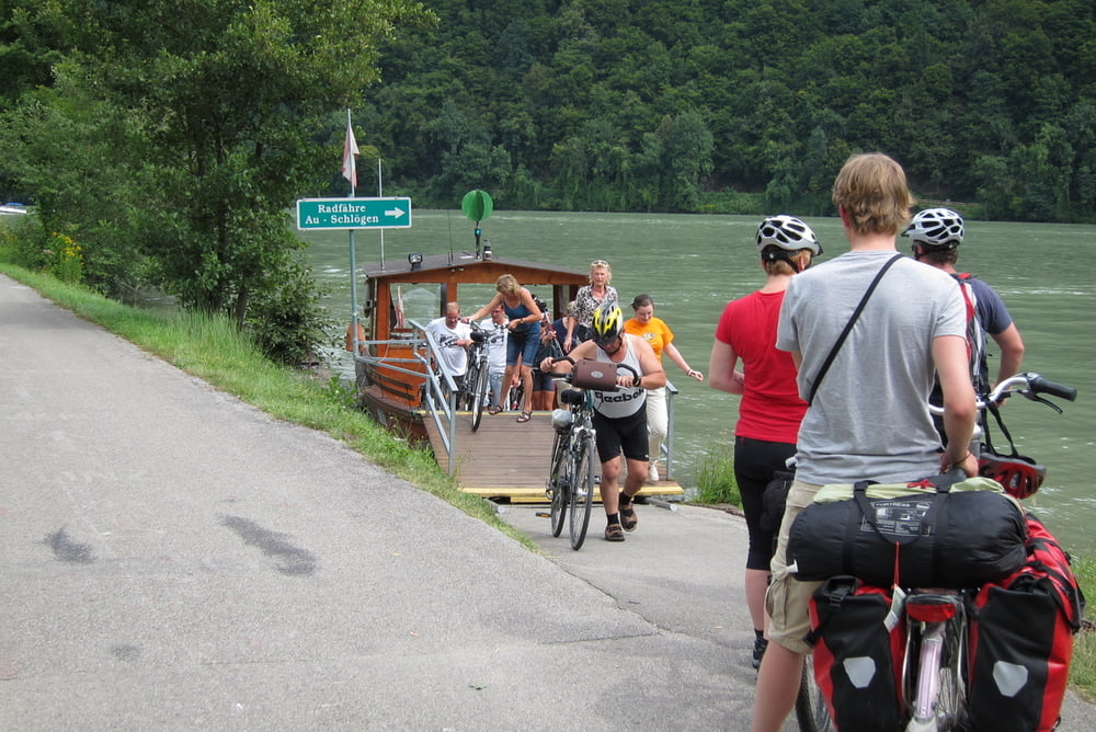
Die erste Etappe Passau-Linz, 97 km ist reiner Genuss.
Die zweite Etappe Linz-Melk, 113 km, ist sehr schön und ruhig. Es gibt kaum Steigungen, der Asphalt ist fast überall sauber und glatt. Eine kleine Ausnahme ist in der Nähe von Mitterkirchen-Pitzing. Dort wegen Hochwasseranlagen wurden einpaar Straßenabschnitte geändert und noch nicht asphaltiert. Die Verpflegung ist lückenlos, Geschäfte oder Raststationen gibt es jede 5-10 km.
Die dritte Etappe Melk-Wien, 116 km, war am schwierigsten und hat am längsten gedauert. Die Müdigkeit macht sich schon bemerkbar, der Rucksack drückt an die Schultern und der Straßenbelag wird schlechter. Allerschlimmste Abschnitt fängt kurz vor Tulln an und dauert fast bis zu Ende. Erst einige Kilometer vor Wien wird der Asphalt wieder besser. Die Highlights der Strecke sind die wunderschöne Natur in Wachau und ein Paar Downhills zwischen Pischelsdorf und Kronau.
galéria trás
Mapa trasy a výškový profil
komentáre

GPS trasy
Trackpoints-
GPX / Garmin Map Source (gpx) download
-
TCX / Garmin Training Center® (tcx) download
-
CRS / Garmin Training Center® (crs) download
-
Google Earth (kml) download
-
G7ToWin (g7t) download
-
TTQV (trk) download
-
Overlay (ovl) download
-
Fugawi (txt) download
-
Kompass (DAV) Track (tk) download
-
list trasy (pdf) download
-
Original file of the author (gpx) download


